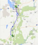
Overview
We spent 6 and a half days in Utah in September of 2013. At this point (a few months later) I just cannot believe that we visited so many places. Below are maps of our route and below that, the travel report. Enjoy!!
(Click on the first image to see the gallery below, press Esc when done)
-
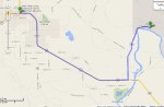
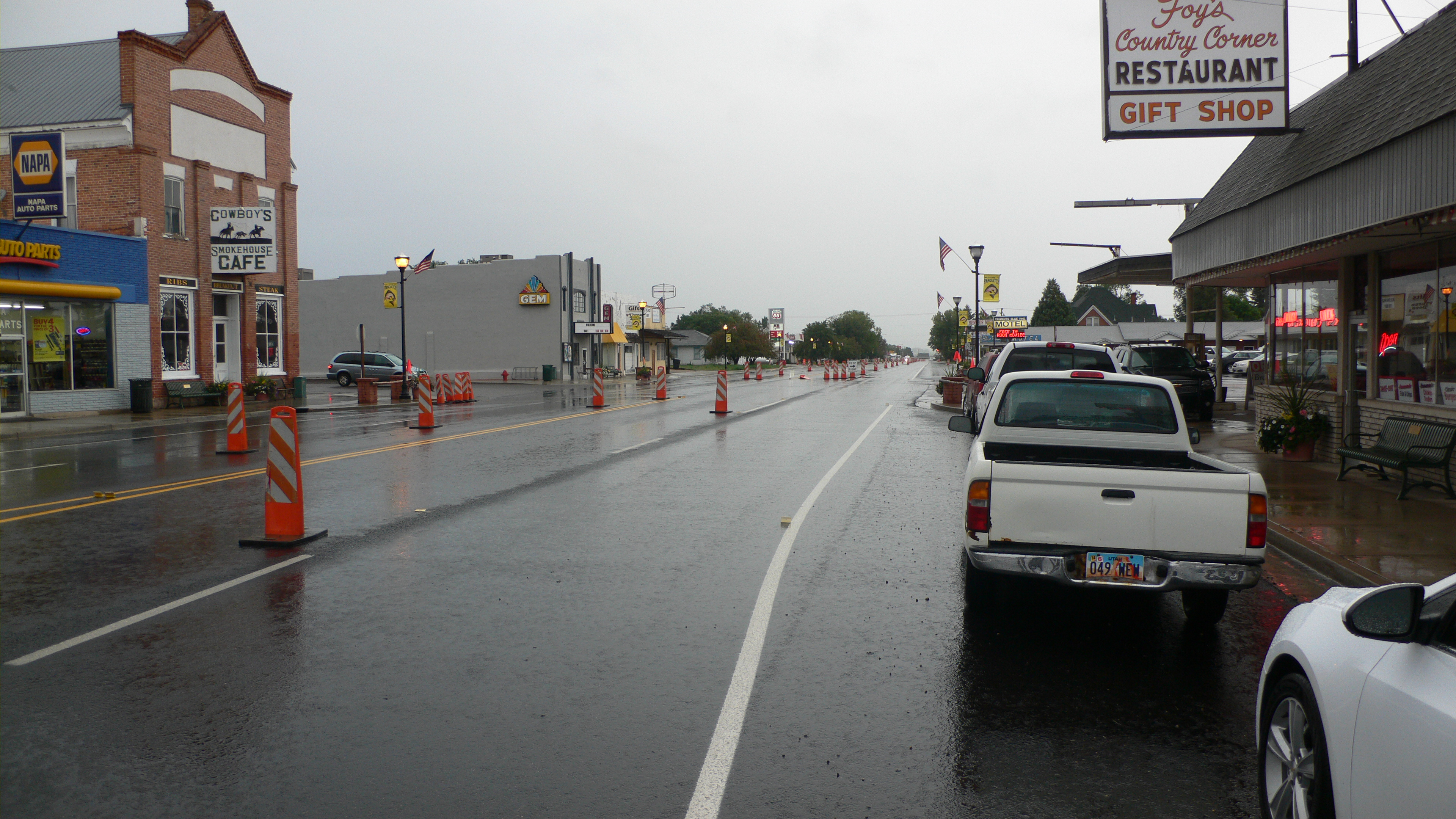
- Day 1. Salt Lake City to Panguitch
-
- Day 2. Panguitch to Bryce Canyon
-
- Day 3. Panguitch to Escalante
-
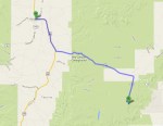
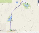
- Day 4. Panguitch to Vernal
-
- Day 5. Vernal to Dinosaur National Monument
-
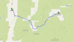
- Day 6 Part I. Vernal to Red Fleet State Park
-
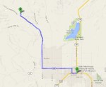
- Day 6 Part II. Vernal to McConkie’s Ranch
-
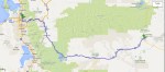
- Day 7. Vernal to Salt Lake City
Saturday September 7
The journey started on an early Saturday morning where we all got on a flight to Salt Lake City. After an uneventful trip, we picked up our rental car and left town as fast as possible.

Waiting for the rental car in Salt Lake City Airport
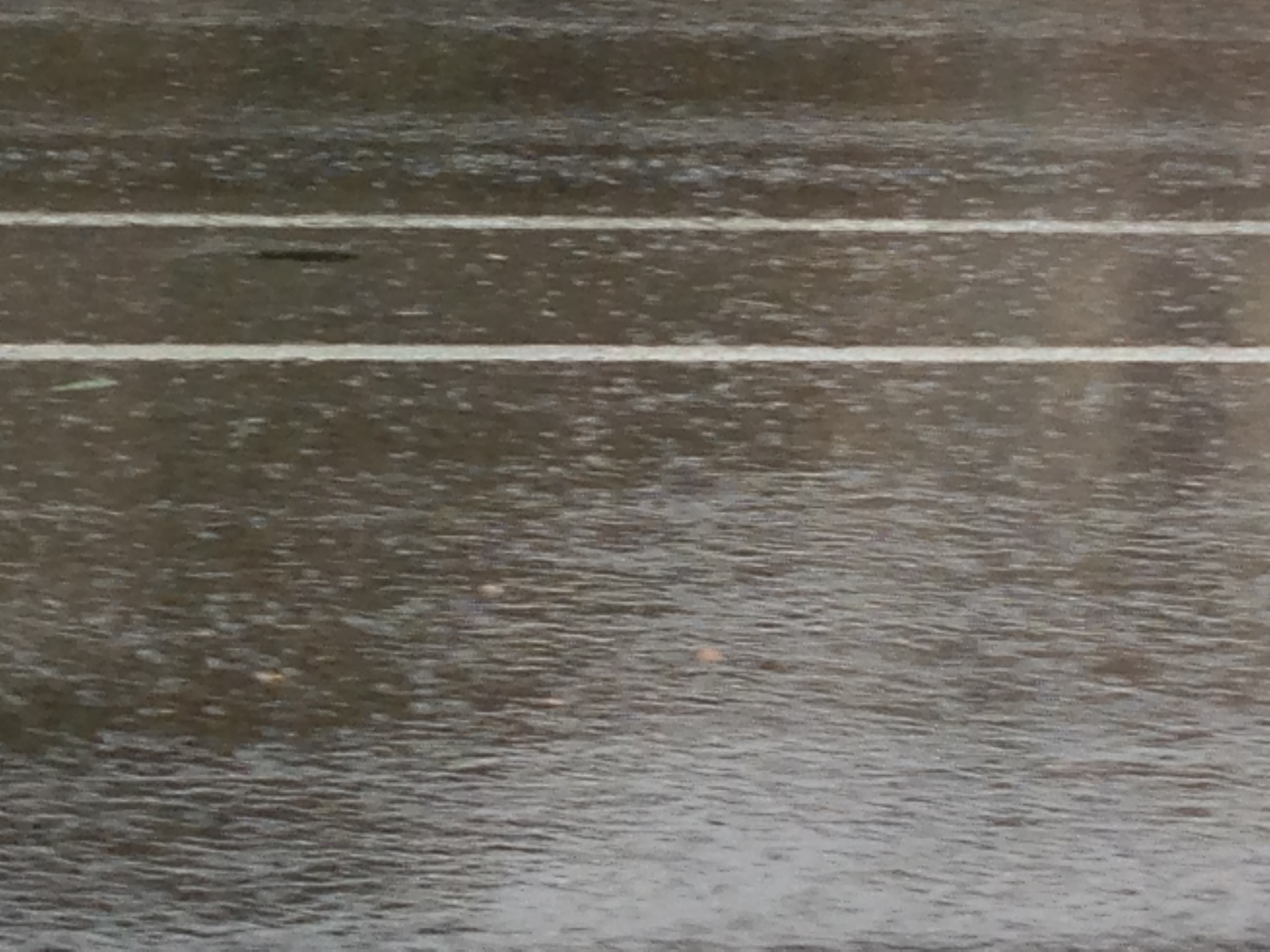
Shortly after we got on the Interstate, we found out that Utahrians drive at least 20 miles/hour above the speed limit even during severe rain storms. Later we learned that a significant fraction of people out there park their cars in two spots.
On that fine first day, our final destination was Panguitch, about 3 hours and 36 min south of Salt Lake City. However, we made a small detour to Lake Utah, just west of Provo to stretch our legs (or so we thought, we would soon be wiser).
We got out of the car and looked for a place to go for a walk when we saw clouds approaching. And I mean clouds, big and black!!! It was quite spectacular to say the least. At first we thought that we could ride out the storm under a picnic shelter. Haha, not so!!! Then we decided to get out of there!
Rain and rain
by Trine Christensen
Utah is not particularly vegetarian friendly but Philip had done some homework and we went to Ginger’s Garden Café in Springville for an early dinner www.gingersgardencafe.com. Fabulous place, we wished we could eat there every single day. It rained while we ate but we were inside in a cozy spot looking out.
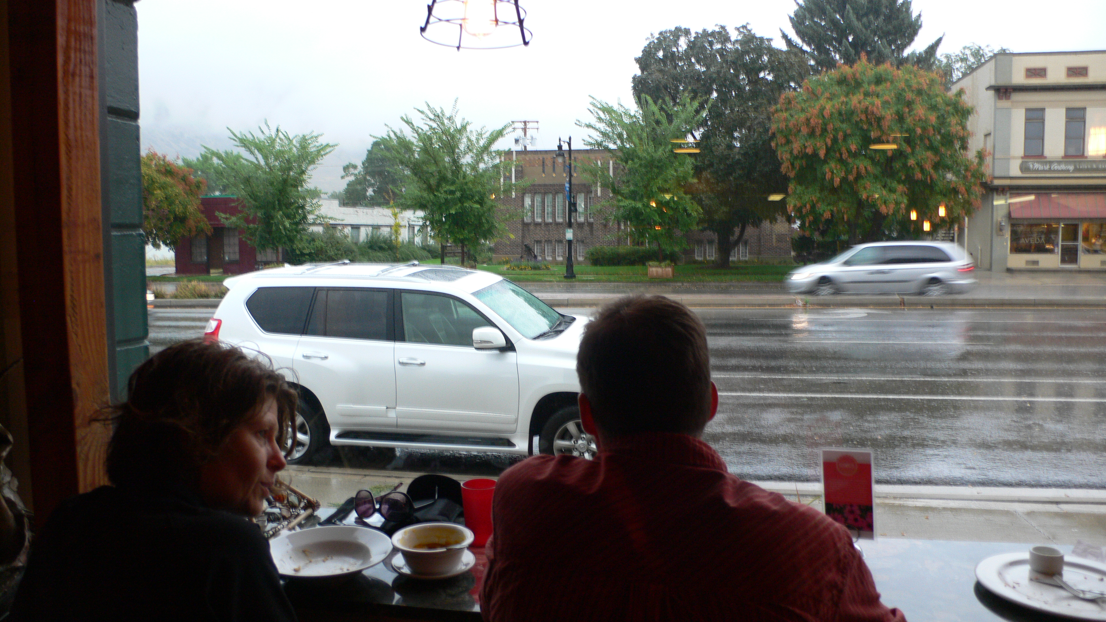
The view from Ginger’s Garden Cafe
by Thorkild Christensen
Just before we finished eating, a car pulled up right outside the Garden Cafe with smoke coming from under the hood. A couple got out of the car, looked briefly at the smoke, came inside, and started working. It may have been the owners. Anyway, it seemed like any other day for them.
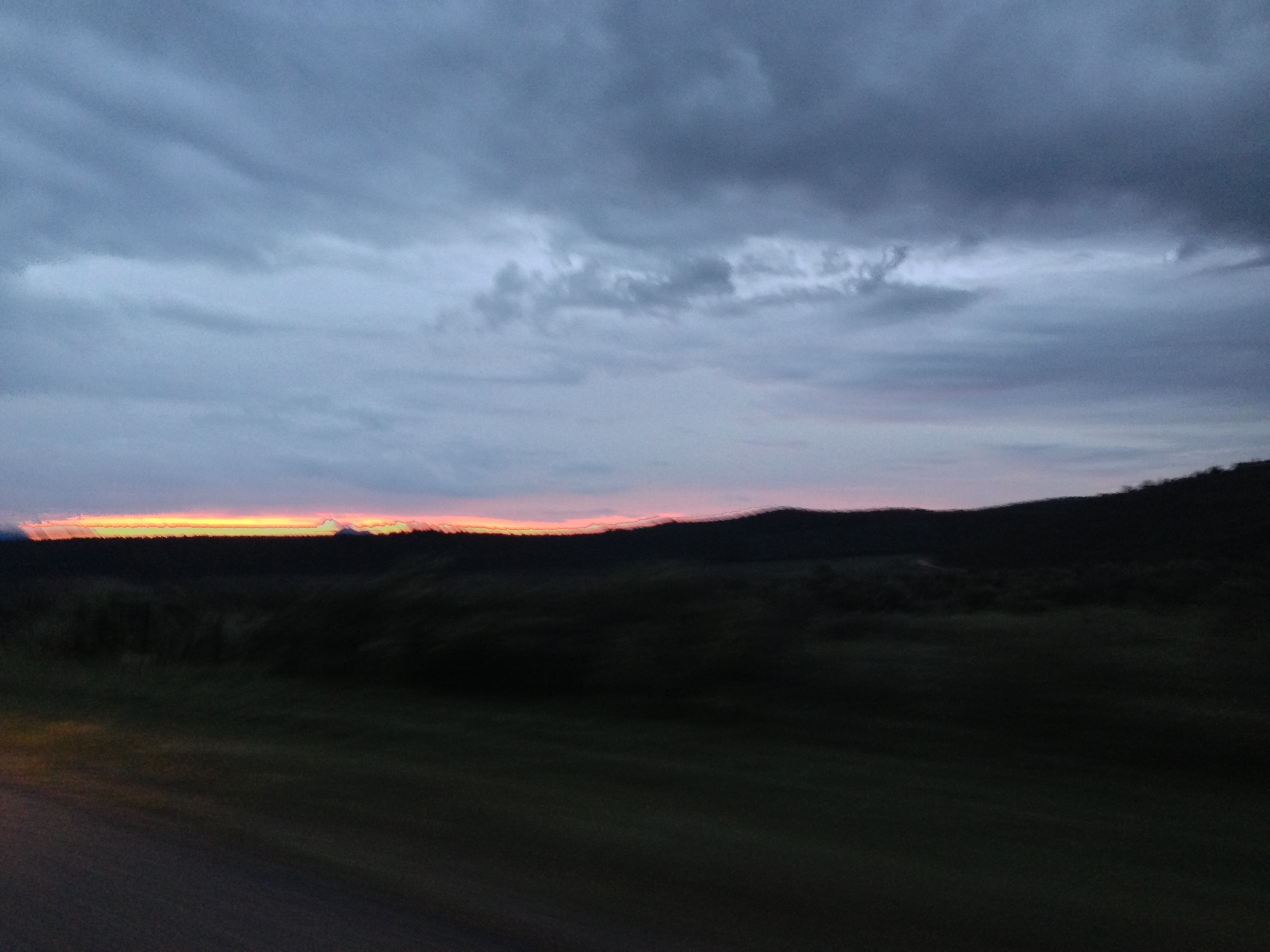
At that point we still had a few hours drive ahead of us. We stopped for coffee and left quickly with mugs in hands. It rained most of the way to Panguitch and the last 10 miles or so, we were driving on small, twisting mountain roads. Philip was driving in dicy conditions while Thorkild was asleep in the back seat.

I-70 in heavy rain
by Trine Christensen
We arrived safe and sound in Panguitch just before 10 pm. After a long day, we checked in to our motel. It was a family business and the hostess was great. The motel itself was maybe a little old but well kept and clean. Would I stay there again? Yes. http://www.canyonlodgemotel.com/
Good night!
Sunday September 8
Small town Utah on a Sunday morning – not so many food options. But Panguitch has Flying M (oh dear, oh dear) where we got coffee and omelets.
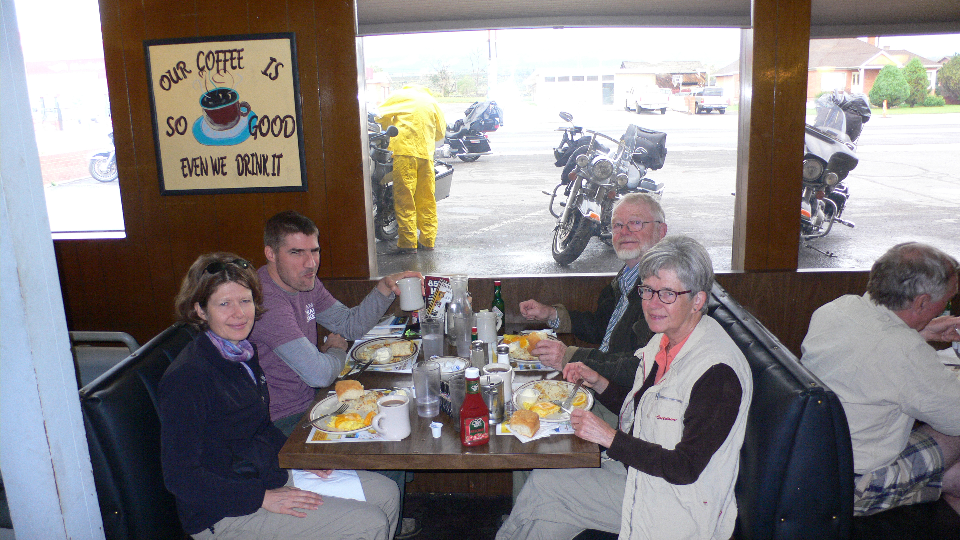
Flying M
by Waitress
Flying M was not the vegetarians’ favorite place and Southern hospitality was not part of the menu.
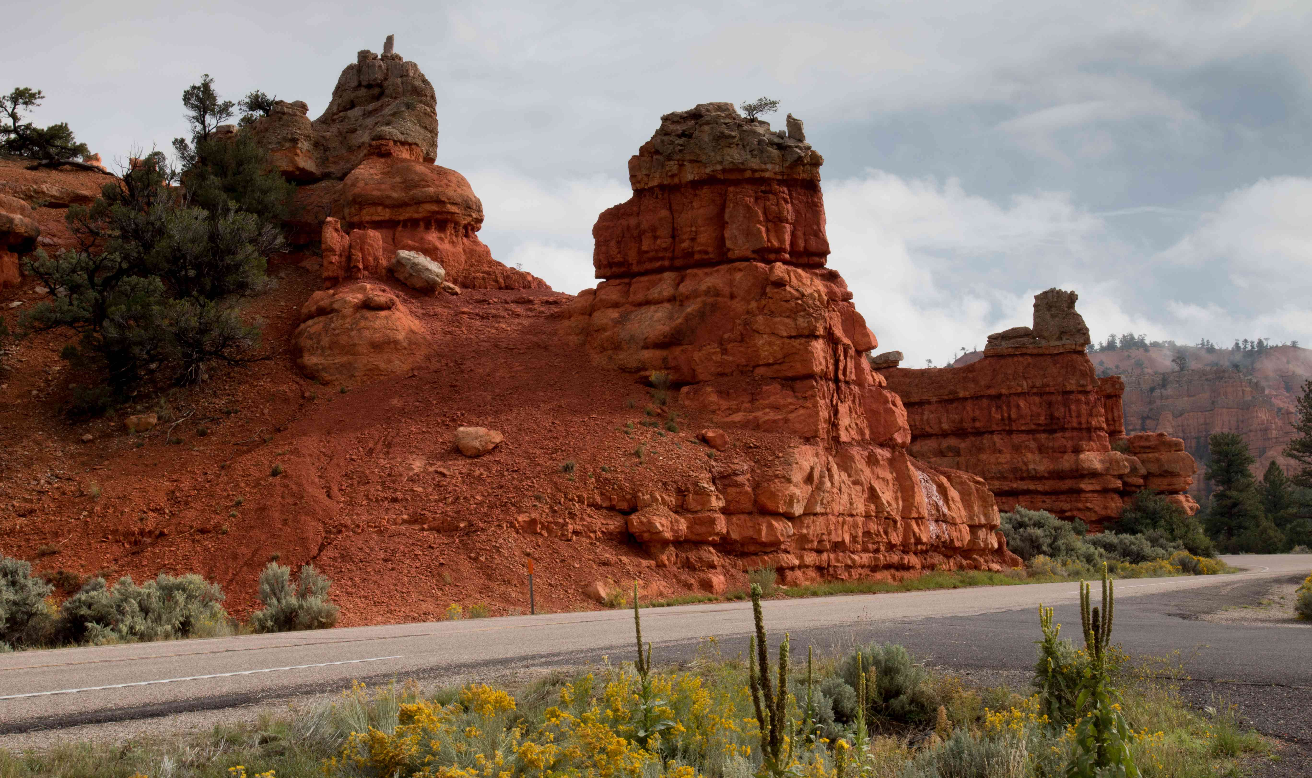
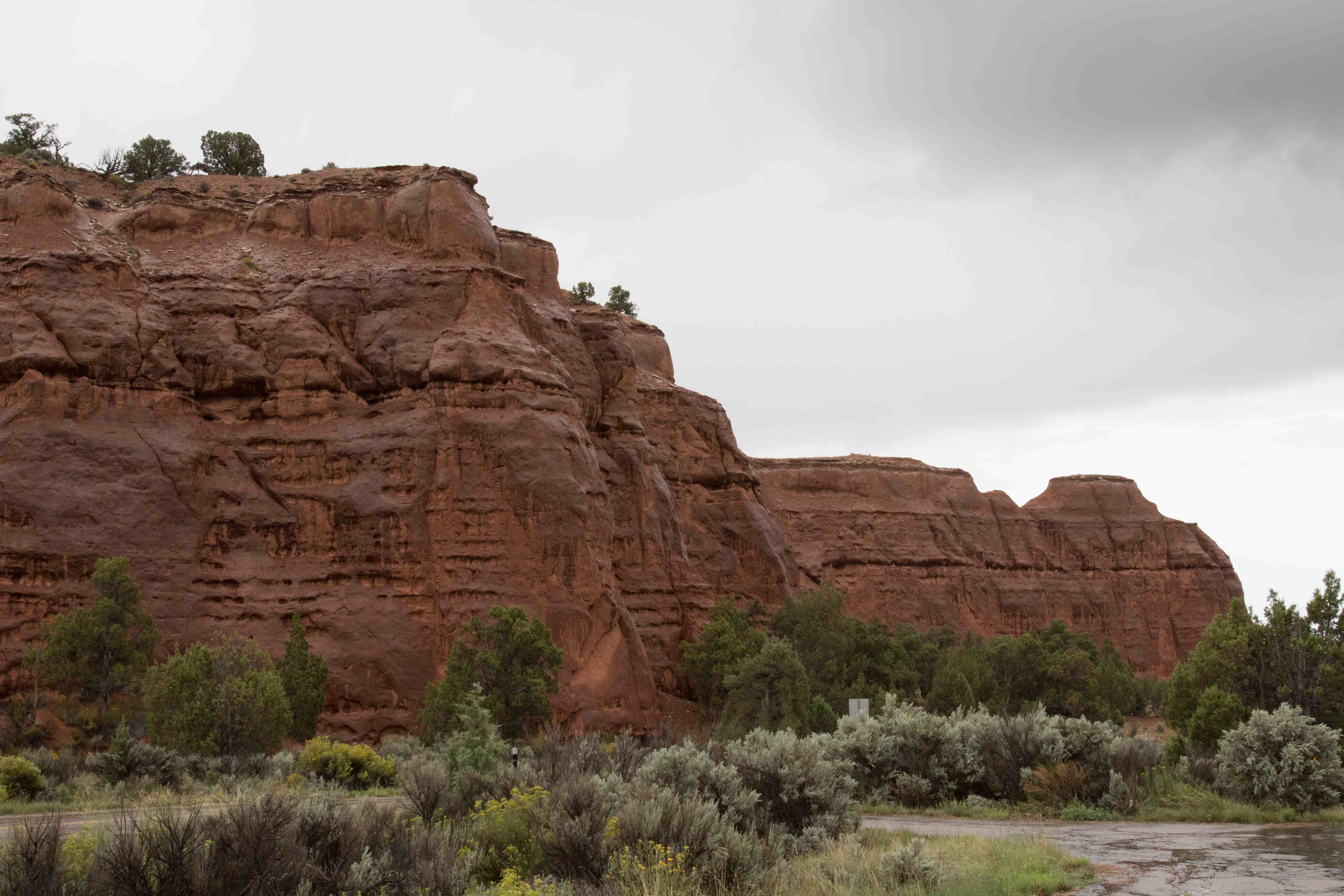
Red Canyon
by Trine Christensen
After breakfast, we took off to explore Utah. As we drove down Highway 12, the landscape suddenly changed and big red canyons were in front of us – Red Canyon as a matter of fact. Breathtaking – no more no less. We had to stop to take pictures; the sun was out and according to the weather report that could very well be the only sun that day. http://www.fs.usda.gov/recarea/dixie/recreation/climbing/recarea/?recid=24942&actid=120
Next stop Bryce Canyon visitor center where we talked to a ranger about the best places to hike on a possibly rainy day. First stop: Sunset Point. We got out of the car, got our gear, and walked towards the location where other people seemed to gather. And there it was – Bryce Canyon with natural amphitheaters and hoodoos. We were on the rim looking down and it was just spectacular. A moon-like landscape and more amazing than anything Hollywood could ever produce. http://www.nps.gov/brca/index.htm
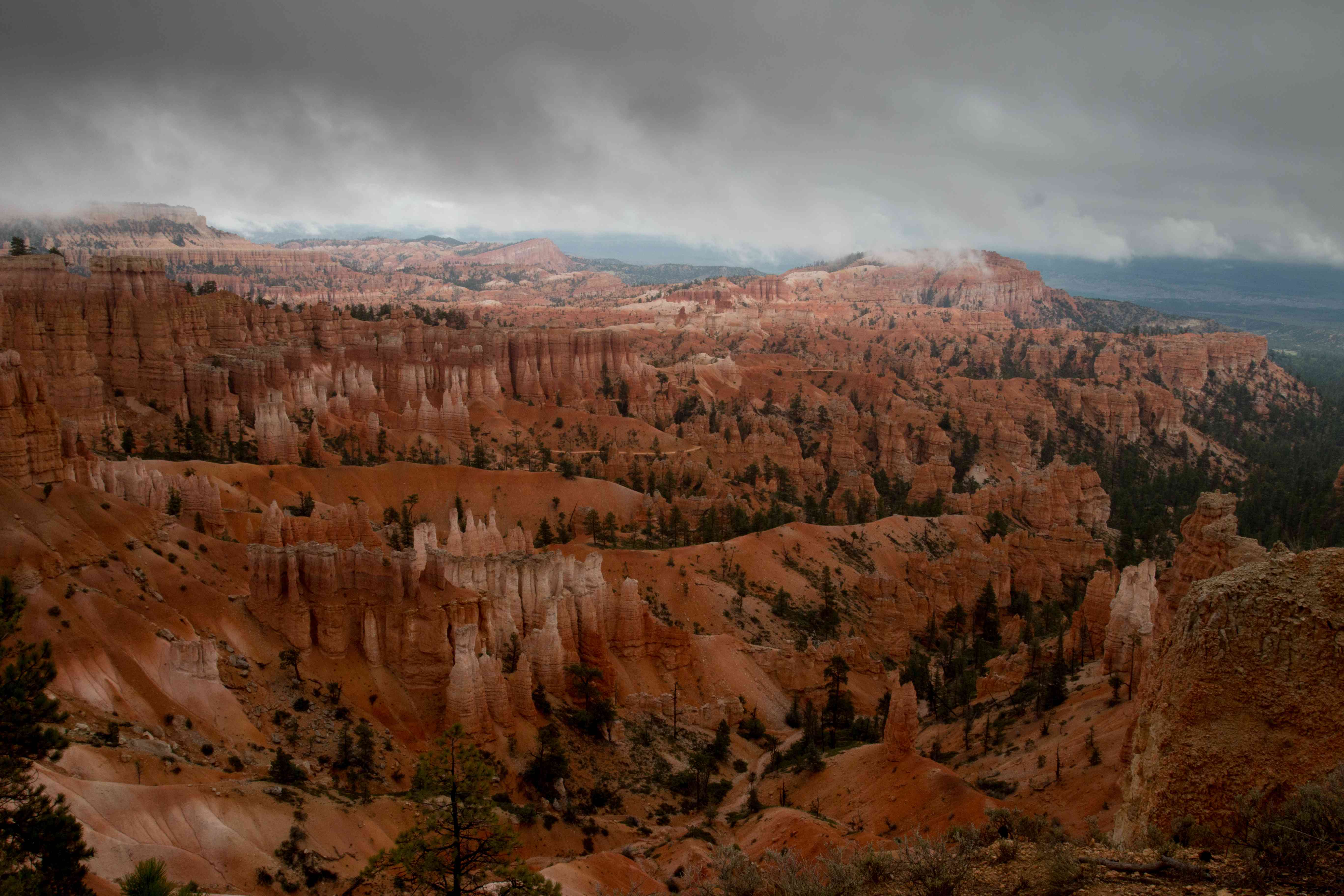
First, impressive view of Bryce Canyon
by Trine Christensen
The rim trail was paved and accessible to wheelchairs. Thus, the park was designed so everybody has a chance to experience this amazing place. We hung around up there for a while and ran into a Danish couple. Throughout the day, we saw many tourists from multiple countries.
Lots of pictures were taken (well yes, no big surprise). Then we walked down into the canyon on Queens Garden Trail, about 1.8 miles (2.9 km) round trip. The trail was going down and down for a long time but it was not very steep. Lots of people – maybe I would call the trail crowded – but nothing could take away how magnificent Nature is.
Only very tough plants, trees, and bushes were growing in Bryce Canyon and we were wondering how they even survived in that hostile environment.
After more than an hour of hiking with fantastic views where ever we looked, we finally got to Queen Victoria – the famous hoodoo. We took pictures and then it started raining. Quite a lot of rain to say the least. All cameras were packed into rainproof bags and suitcases.
(Click on the first image to see the gallery below, press Esc when done)


Trine Christensen
This was pretty much also the point where the trail started going back up. We could choose between two trails and decided on the shorter which saved us 300 steps at most. Another good thing about the trail we chose was that we passed by two natural bridges.
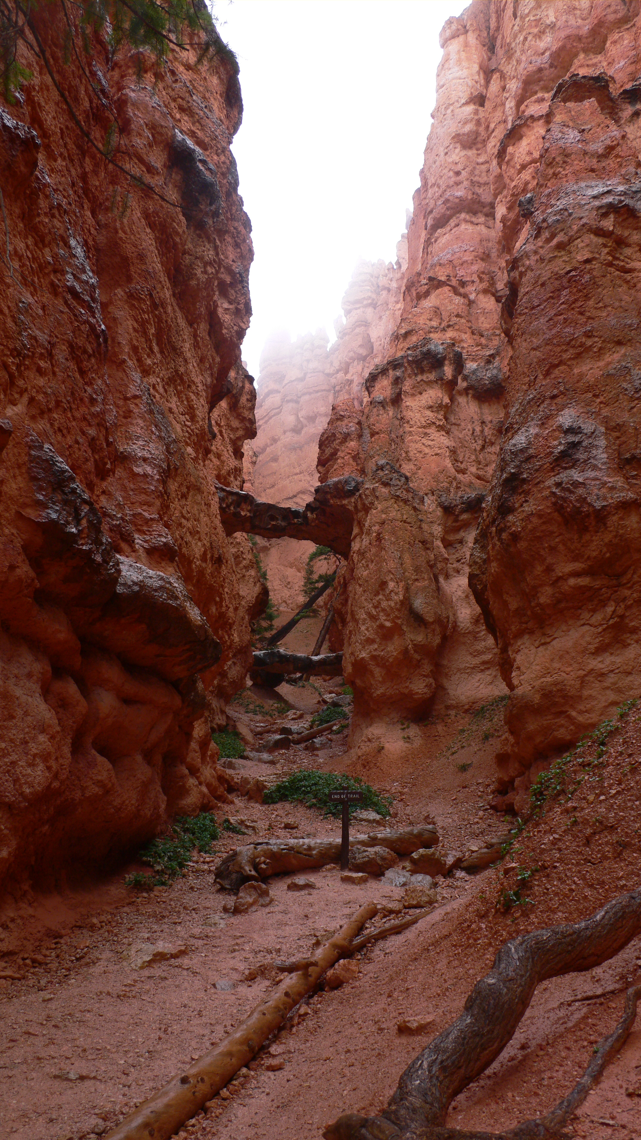
Two Natural Bridges
by Thorkild Christensen
The climb up was not that long but very steep, resulting in an increase in heart rates. Rain and rain turned the trail into mud and yet more mud. Half way up, the rain kinda sorta stopped and cameras were pulled back out. More and more pictures. Check out the pictures from the walk back up to the parking lot:
When we got back to the top, we were all very muddy on our shoes and pants: day one = very dirty people. At least it was the same for all of us.
Can’t get enough? Here is a link to additional pictures from Bryce Canyon https://thebikecafe.org/travel-2013/utah/bryce-canyon-pictures/
After a quick lunch in the car, we drove down the road and stopped at the other Natural Bridge.
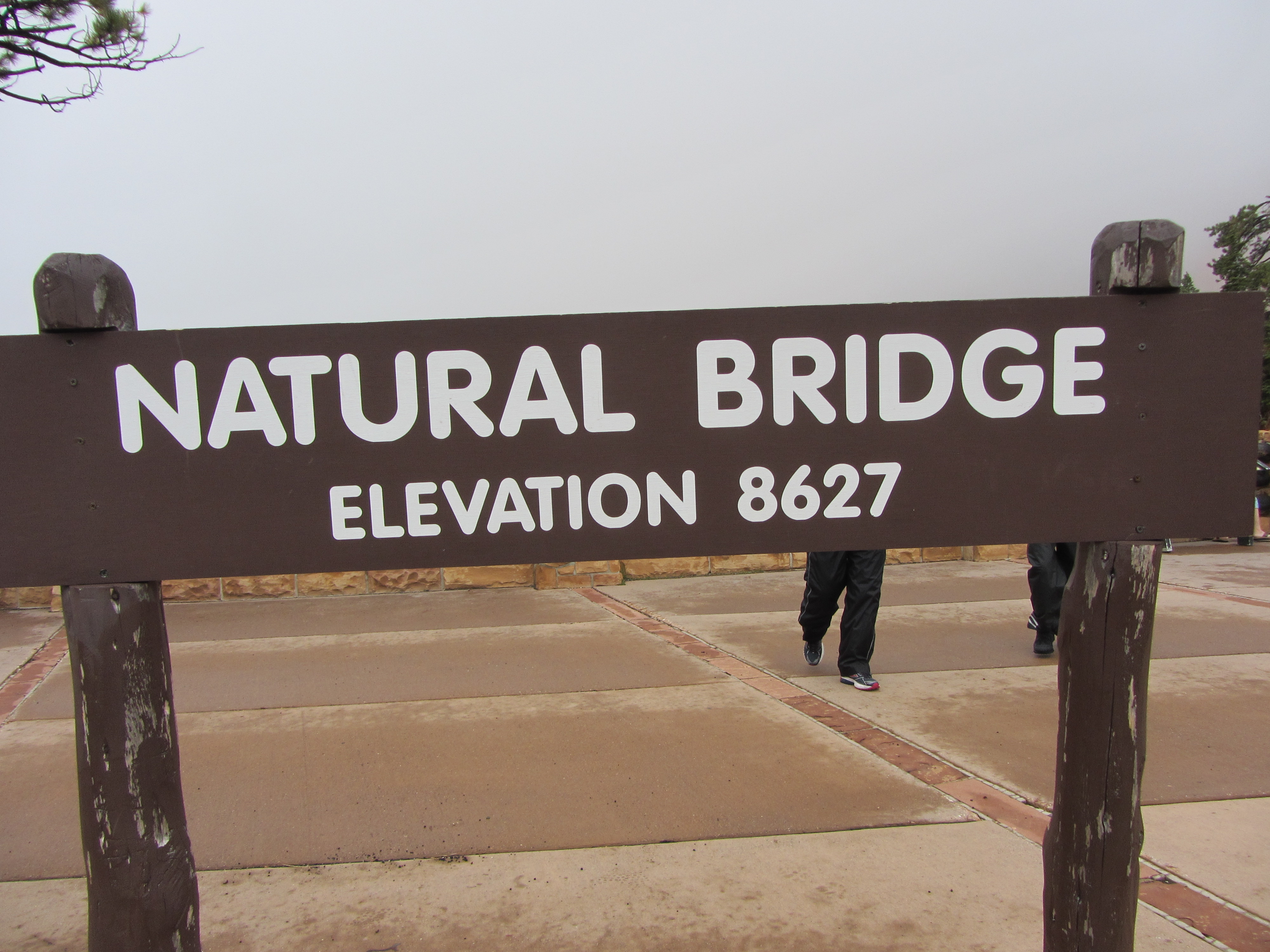
by Aase Christensen
There we ran into a large group of Danes traveling on motorcycles. We also saw a raven that knew how to get food from tourists.
(Click on the first image to see the gallery below, press Esc when done)


We continued to Agua Canyon to look at prominent hoodoos. It was foggy to say the least. I bet the view was not as spectacular as on a sunny day but on the other hand, the cloudy and misty conditions made the landscape more mysterious.
After a long day at Bryce Canyon, we headed back towards Panguitch. We only made it a few miles down the road before we had to stop at Ruby’s Inn for coffee. Ruby’s Inn probably started as a hotel but then turned into almost a small village containing mainly tourists.
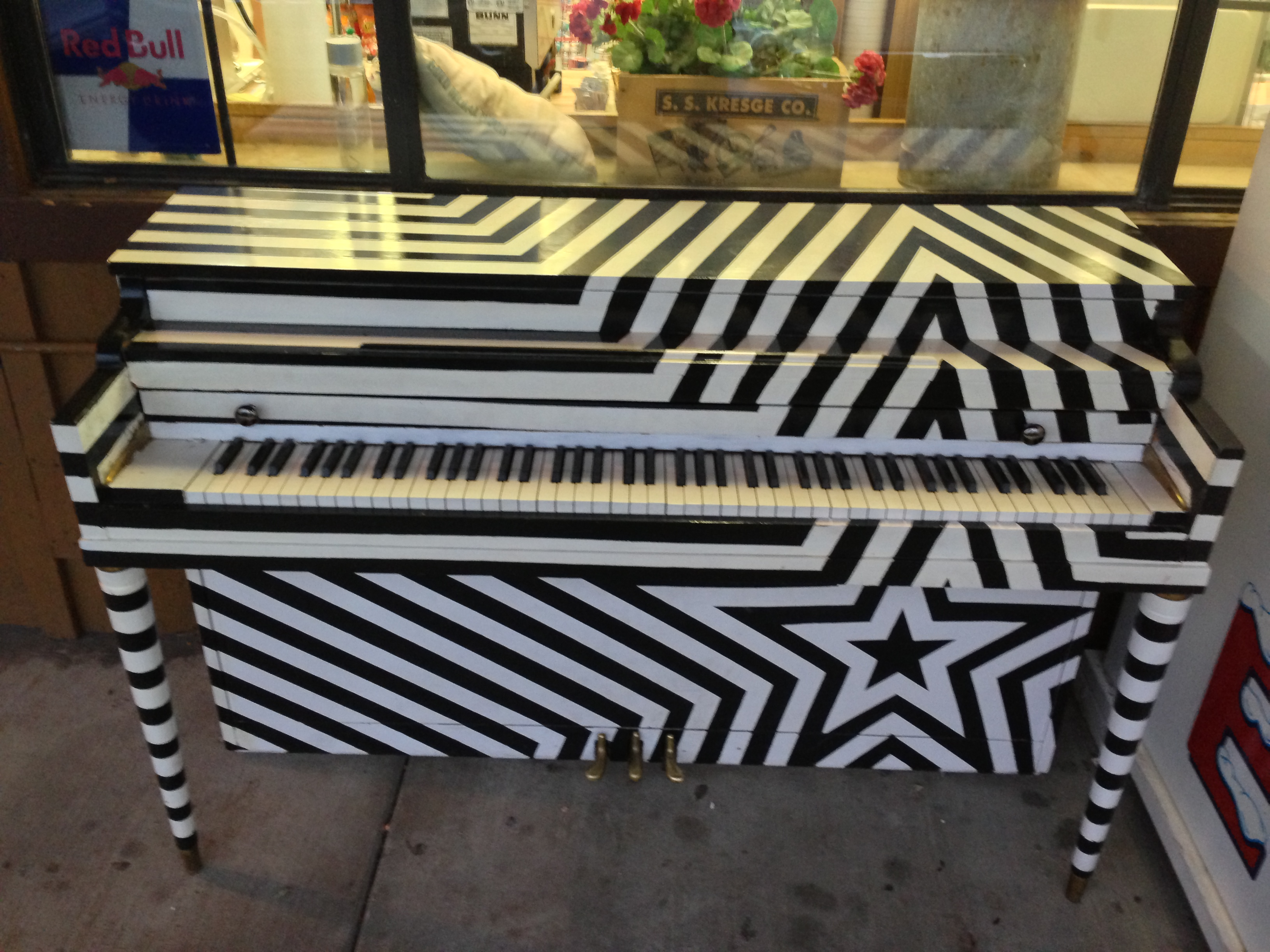
What a piano – at Ruby’s Inn
by Trine Christensen
Lots of tacky stuff was available and COFFEE. What else can you really ask for in the middle of nowhere? After we finished our coffee, we probably had an hour before sunset and decided to make a stop at the Red Canyon visitor center. Philip and I talked to the ranger about places to see the next day. She recommended driving on Hwy 12 for hours and hours and we tried to say “but, but, but we don’t wan’t to sit in the car all day” – it was not easy to get that message through. Anyway, we got some good information and went on a very short hike around the visitor center.
(Click on the first image to see the gallery below, press Esc when done)

by Trine Christensen

Philip Semanchuk
It was a short hike but it was impossible to get enough of the landscape. The rain had stopped and the sun finally peaked out just before sunset.
Driving back to Panguitch
by Trine Christensen
It was a beautiful drive back to Panguitch where we realized that even the pizza place was closed on Sundays. So back to Flying M (they had a busy night) where a grilled cheese awaited the vegetarians. The carnivores got something else. But to be fair, they had local beer on tap, not bad at all!!
Good night!
Monday September 9
The weather report did not look great for Monday so we decided to get up before the birds and went to the local Country Corner Café at 7:04 am for breakfast. A real small town diner; coffee, nice omelets, red and white plastic table cloths, and local folks meeting early in the morning.
After breakfast, we got on Hwy 12 and our destination was Escalante Petrified Forest State Park. We stopped a couple of places on the way. To our surprise, the sun was out.
Highway 12
by Trine Christensen
A little further down the road, the red color of the rock suddenly changed to almost white.
A stop along Highway 12
by Thorkild Christensen
When we got to Escalante, we stopped at the visitor center to ask if there was other interesting places to see in the ‘hood. Again, the ranger suggested to get back into the car, skip the petrified forest, and continue on Hwy 12 for a couple of hours. OK we got it, apparently there is something very cool on Hwy 12, however, we decided against it.
Just outside the visitor center we saw a group of people standing by a couple of tables with microscopes lined up. It turned out that it was a registration station for migrating humming birds. That day, they had already caught about 90. We stood there for just a few minutes and they caught a black-chinned hummingbird. It was already banned and they wrote down the number. Then they offered the bird some nectar and asked if anybody would release it. Philip was quick and got the little thing in his hand; he held a hummingbird for a split second before it took off.
After that we went to the Petrified Forest http://www.utah.com/stateparks/escalante.htm. The sun was still out and it was warming up. The trail was probably a couple of miles long and it was a very different landscape compared to Bryce Canyon; no hoodoos or red rocks. The trail was a lollipop shaped loop and the first part was a pretty steep uphill whereas the loop itself was more flat.
by Trine Christensen
Many trees and bushes were barely hanging on.
(Click on the first image to see the gallery below, press Esc when done)


We walked and walked and saw no petrified wood. But suddenly it was there. And there was a lot!!
(Click on the first image to see the gallery below, press Esc when done)


And there was more:
(Click on the first image to see the gallery below, press Esc when done)


Here is the crew
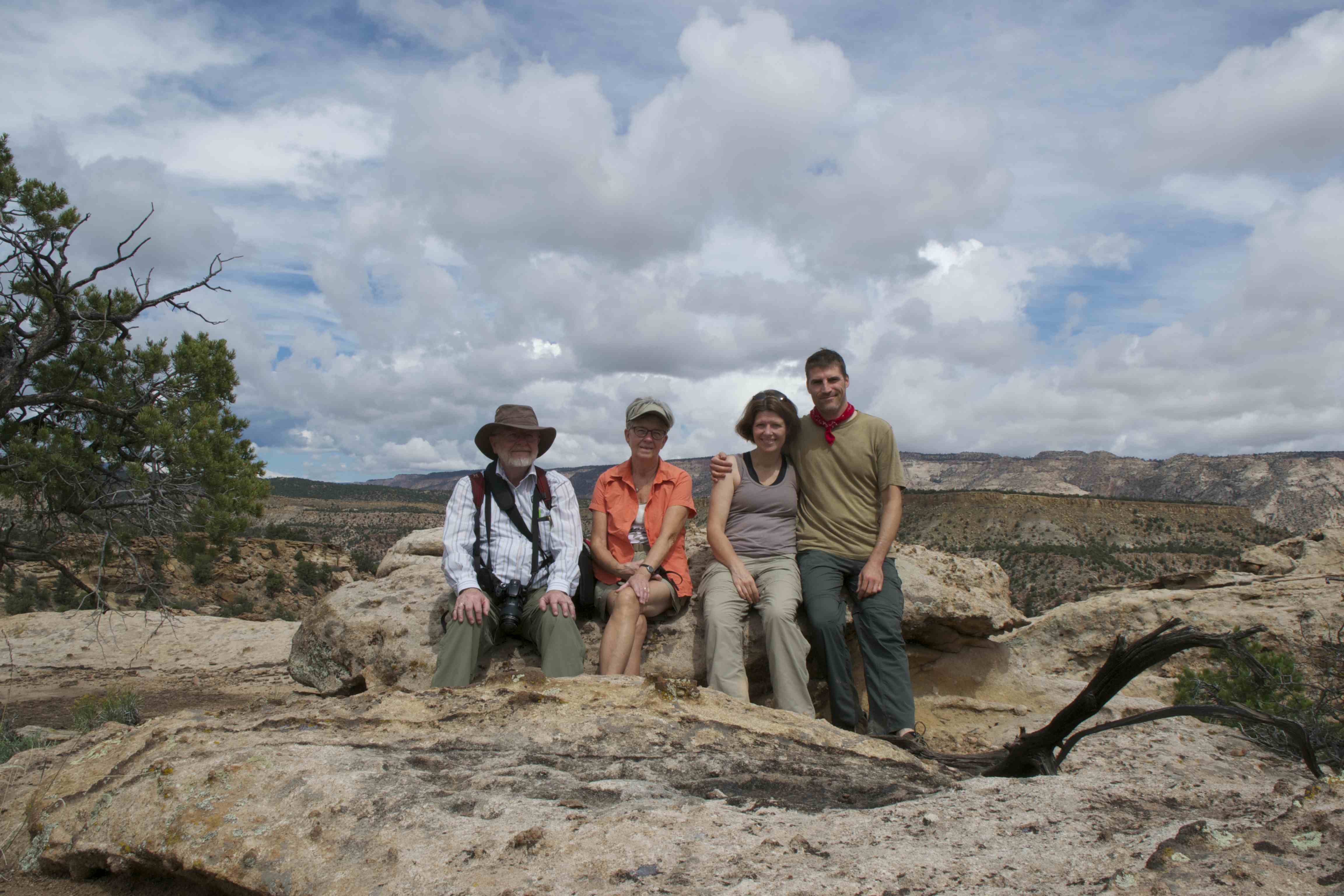
by Philip Semanchuk with help from my camera bag
Beautiful weather
Do you want more? Here is a link to even MORE pictures! Yes, I know you can hardly wait!
https://thebikecafe.org/travel-2013/utah/more-pictures-from-escalante-petrified-forest/
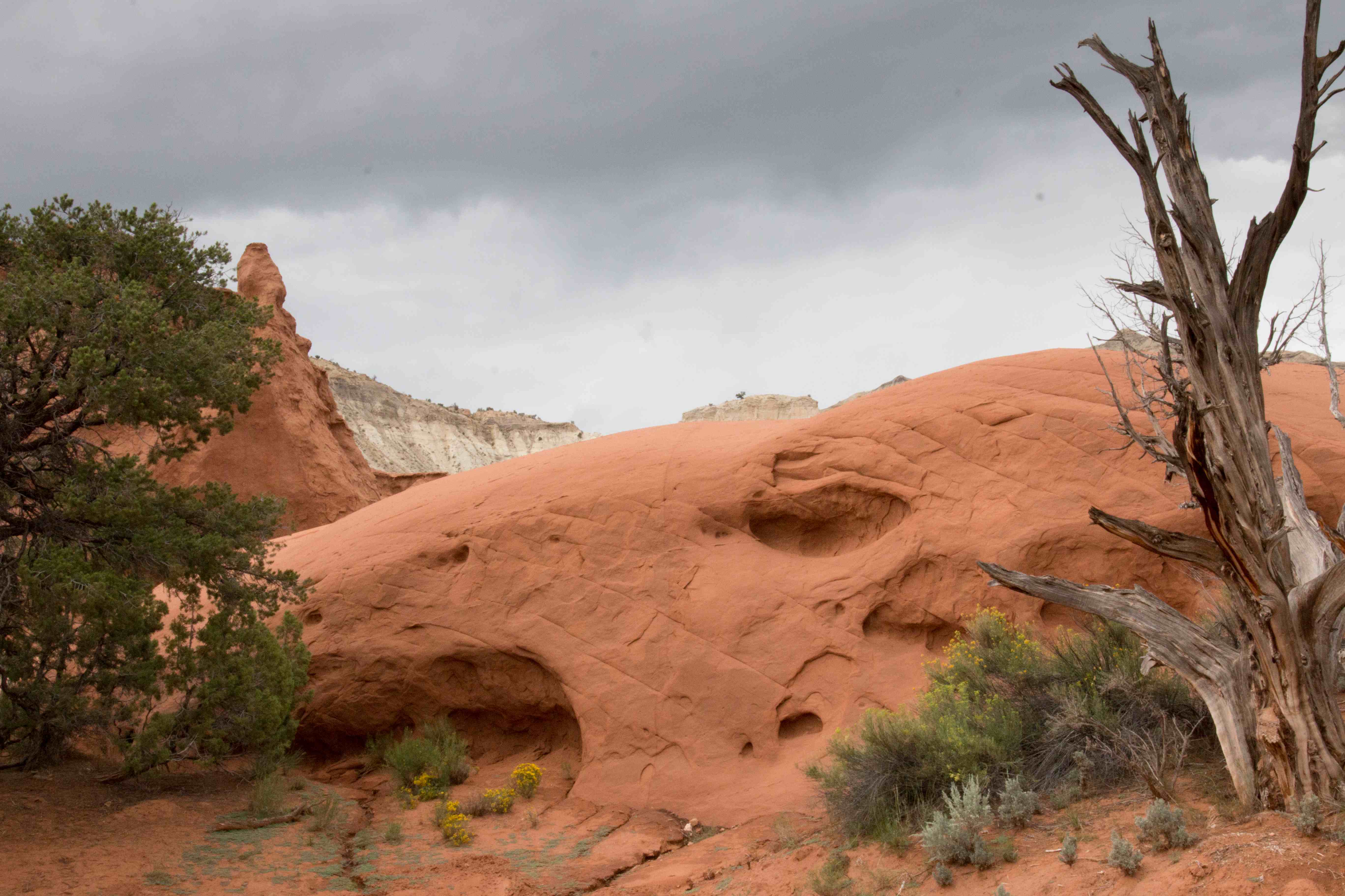
Kodachrome Basin State Park
by Trine Christensen
After Escalante, we drove back towards Panguitch and stopped at Kodachrome Basin State Park. The area was first named Kodachrome Flat back in 1948 after an expedition sent out by National Geographic Society photographed the area using a new brand of Kodak film. The area became a State Park in 1962 and a few years later it was named Kodachrome State Park http://www.utah.com/stateparks/kodachrome.htm.
(Click on the first image to see the gallery below, press Esc when done)


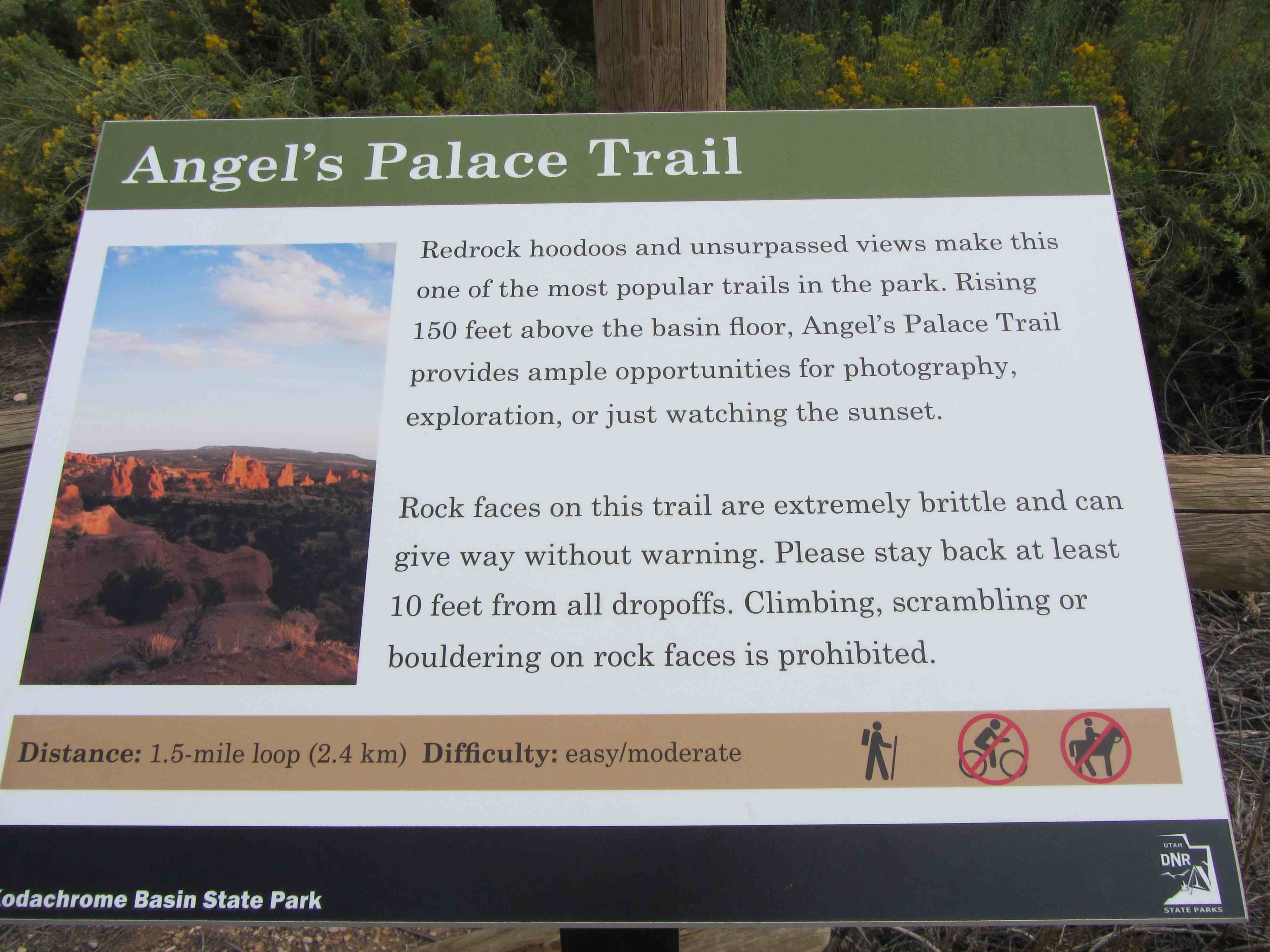
When we got there, it was afternoon and we did not have too much time. But we got out and started hiking the Angel’s Palace Trail.
by Aase Christensen
After the nice and sunny day, it started getting cloudy but that didn’t stop us.
Kodachrome Basin State Park was just breathtaking. Yes, yes, so were many other places but I could have stayed there for days and days to take pictures. We didn’t finish the loop, dark clouds emerged and we retreated.
We had to walk through several narrow canyons and when it started raining, Philip was worried about flooding. Fortunately, nothing happened, except that we got a tiny bit wet.
Wet rocks:
by Trine Christensen
On the way back to Panguitch we stopped in Tropic for dinner. Tropic is another tiny little town with tourists. It was not cheap, but there were several vegetarian options so that was a plus. And of course – beer on tap.
The last leg back to Panguitch was uneventful.
Here is a link to EVEN MORE pictures from Kodachrome. Enjoy
https://thebikecafe.org/travel-2013/utah/more-kodachrome-basin/
Good night!
Tuesday September 10
Tuesday stands for travel day – Panguitch to Vernal, direct route 5 hours and 10 min. We packed up our stuff, stopped for breakfast at the diner, and off we went.
Bye bye Panguitch
by Thorkild Christensen
We did not take the direct route, we took back roads instead. It was pretty flat with spotty vegetation in the fields. Not a very interesting drive. And it rained almost constantly.
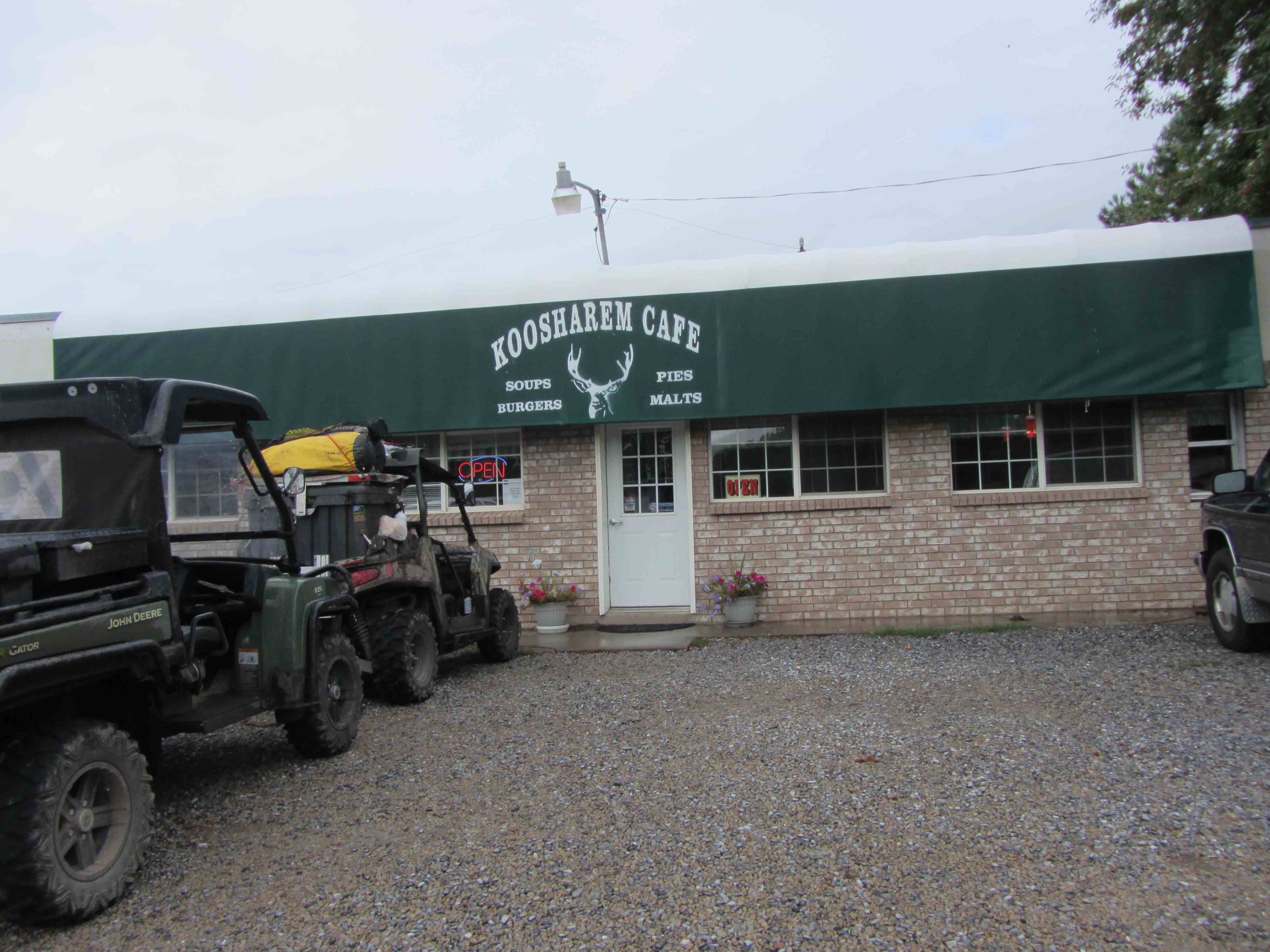
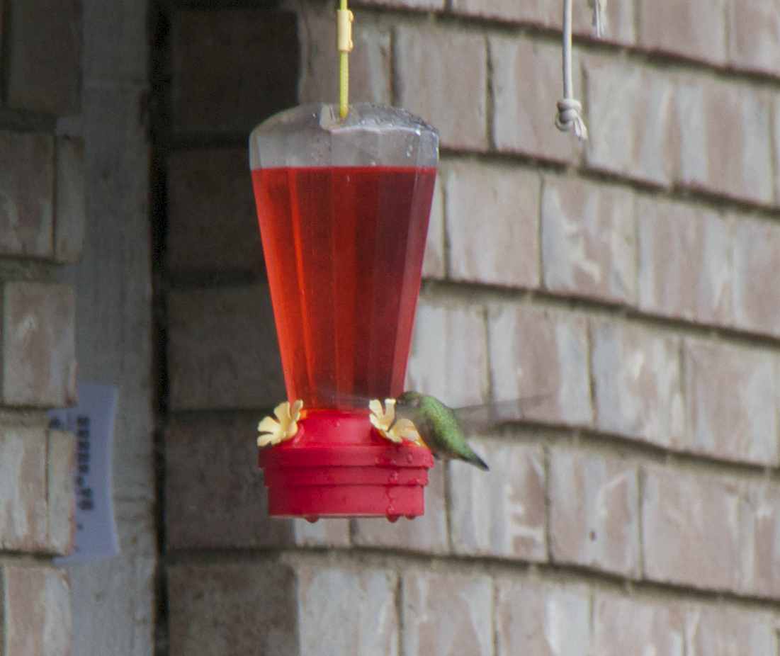
We got to the small village Koosharem which consisted of maybe a handful of houses and a small diner. The diner served thin coffee and nice apple cake according to Philip (he was the only one in the mood for cake). Again, a typical small village (if you can call 10 houses a village) diner full of local folks. And they had a hummingbird feeder which was super-busy.
by Philip Semanchuk
.
.
.
.
.
.
.
.
.
.
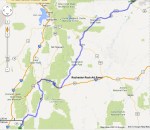
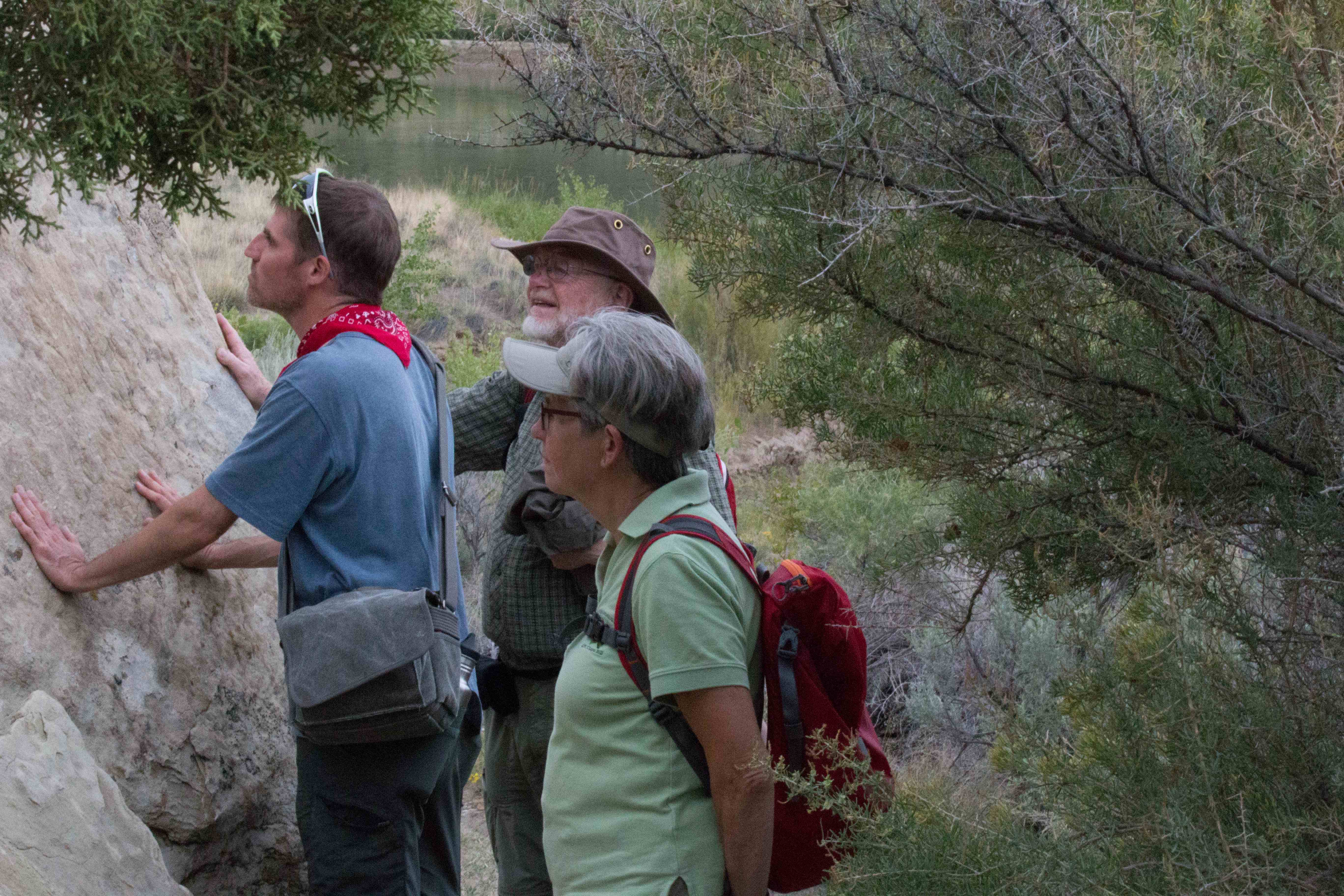
Next stop Rochester Rock Art Panel just north of Emery, http://www.redrockadventure.com/rock_art/rochester_rock_art.htm. No state park, no paved road, but at least a sign for a historic site and a parking lot. There was a path with one sign showing that we were in the right spot.
(Click on the first image to see the gallery below, press Esc when done)


by Trine Christensen
The path got more and more rocky as we proceeded and somewhat steep. It was drizzling and muddy in places. At some point the path split into two and we chose to walk up. Why? For some of us it was 50-50% chance or just instinct, whereas others thought that the Native Americans would paint in a spot high up.
As mention above, at times we were not sure if we were on the right track but in the end we found it. Wow! What an amazing piece of art work and what a view.
It was weird to think about the people who made it, why did they do it, how many artists were there, did the carvings have any meanings, how long did it take, and why did some idiots carve their names into the stone next to these master pieces?
(Click on the first image to see the gallery below, press Esc when done)


The view up there was amazing, take a look:
We walked back to the car. As usual, the path looked different in the opposite directions so we still had many things to look at.
Back at the parking lot, the car, which was there when we arrived, was still there. Then the driver showed up; a very fit, European guy. He asked if we had found the Rochester Rock Art Panel, he had been looking for it for hours. We explained where and how to find it and he took off running. Yep running!
Want more? Here is a link to additional pictures https://thebikecafe.org/travel-2013/utah/more-rochester-panel/
It was time to head up to Price to find some lunch. I thought I was prepared but the restaurant where they had some vegetarian options closed at 2 pm. What to do, what to do? Well, Philip asked a nice lady at the Wells Fargo branch for places to eat and she directed us out of town to Groggs. At first, we thought we missed it (it was pretty far out of town) but no, we found it and yes, it was worth going ALL the way out there.

Driving to Vernal
by Aase Christensen
.
.
.
.
.
.
.
.
.
Next stop Vernal. We got there and found our hotel. Best Western, yay. Philip went exploring and found a book store, Bitter Creek Books (which will come in handy later in the trip), and a brew pub, The Quarry Steakhouse and Brew Pub.
Shortly after he got back, we gathered the parents and off we went – to the brew pub of course. According to Utah law it is unlawful to sell beer without food so we got appetizers and local beer on tap. Yum.
Vernal by night
by Aase Christensen
.
Long day. Good night.
Wednesday September 11
Wednesday was dinosaur stoney bones day. Again, we got out of bed early and started at JB’s restaurant which was located next to the hotel. The diner had a good breakfast bar.
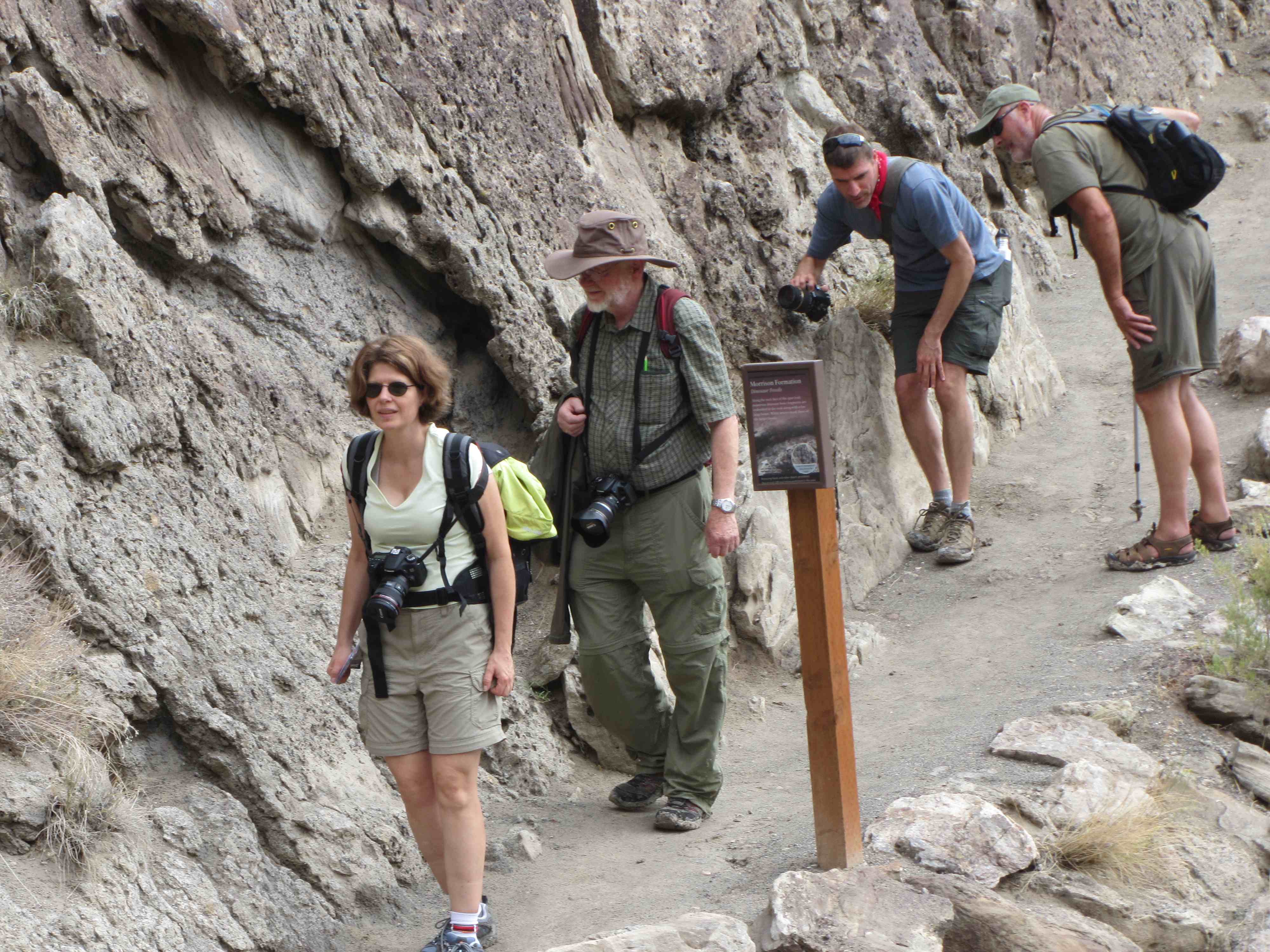
Next stop – Dinosaur National Monument, www.nps.gov/dino/. Upon arrival, we stopped at the visitor center and talked to a ranger (see a pattern here?).
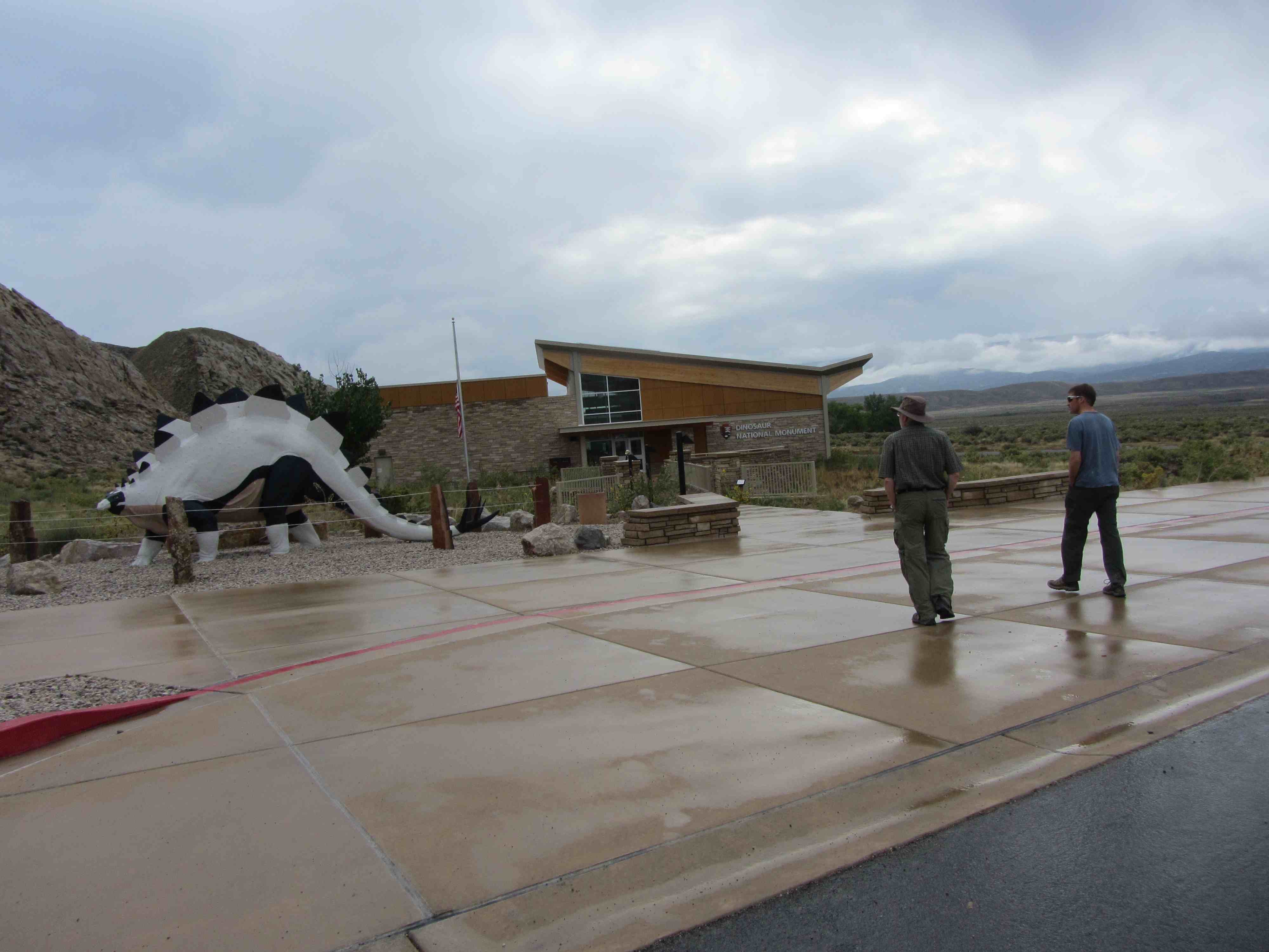
by Aase Christensen
Philip asked about wild life in the area and the ranger said casually that earlier in the day, they had spotted elks and Sandhill Cranes (its a bird for those of you who might think it might be something else) in the field across the creek.
That put a fire under Philip and off he went with his binoculars and camera.
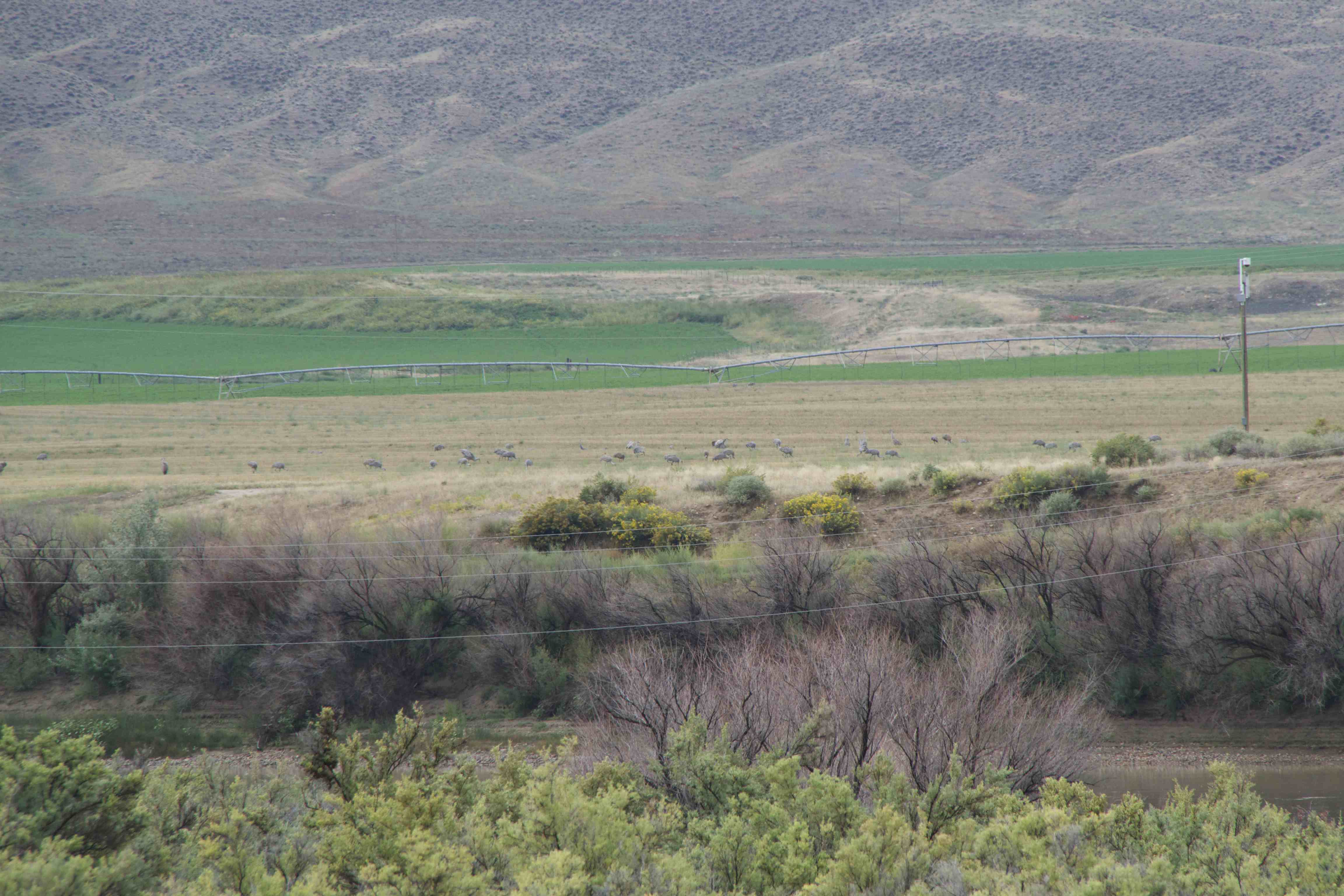
Can you spot them cranes?
by Philip Semanchuk
.
.
.
Meanwhile, Aase, Thorkild, and I watched a movie about the National Park.
Maybe 30 min later, we all got our stuff, and started hiking up to the monument. The rain stopped and the sun came out. A good day for the sun to be out because Philip left his rain coat at the hotel where it would stay nice and dry.
.
It was in theory a 30 min hike up to the Monument but it probably took us 1.5 hours.
.
by Philip Semanchuk
.
.
.
.
.
It was a very nice walk in yet again a very different landscape.
.
.
More pictures from our hike:
(Click on the first image to see the gallery below, press Esc when done)


by Philip Semanchuk

First we stopped at a place with fossilized fish scales. Well, thats what the sign said but we could not see anything but rocks.
If you say so
by Aase Christensen
..
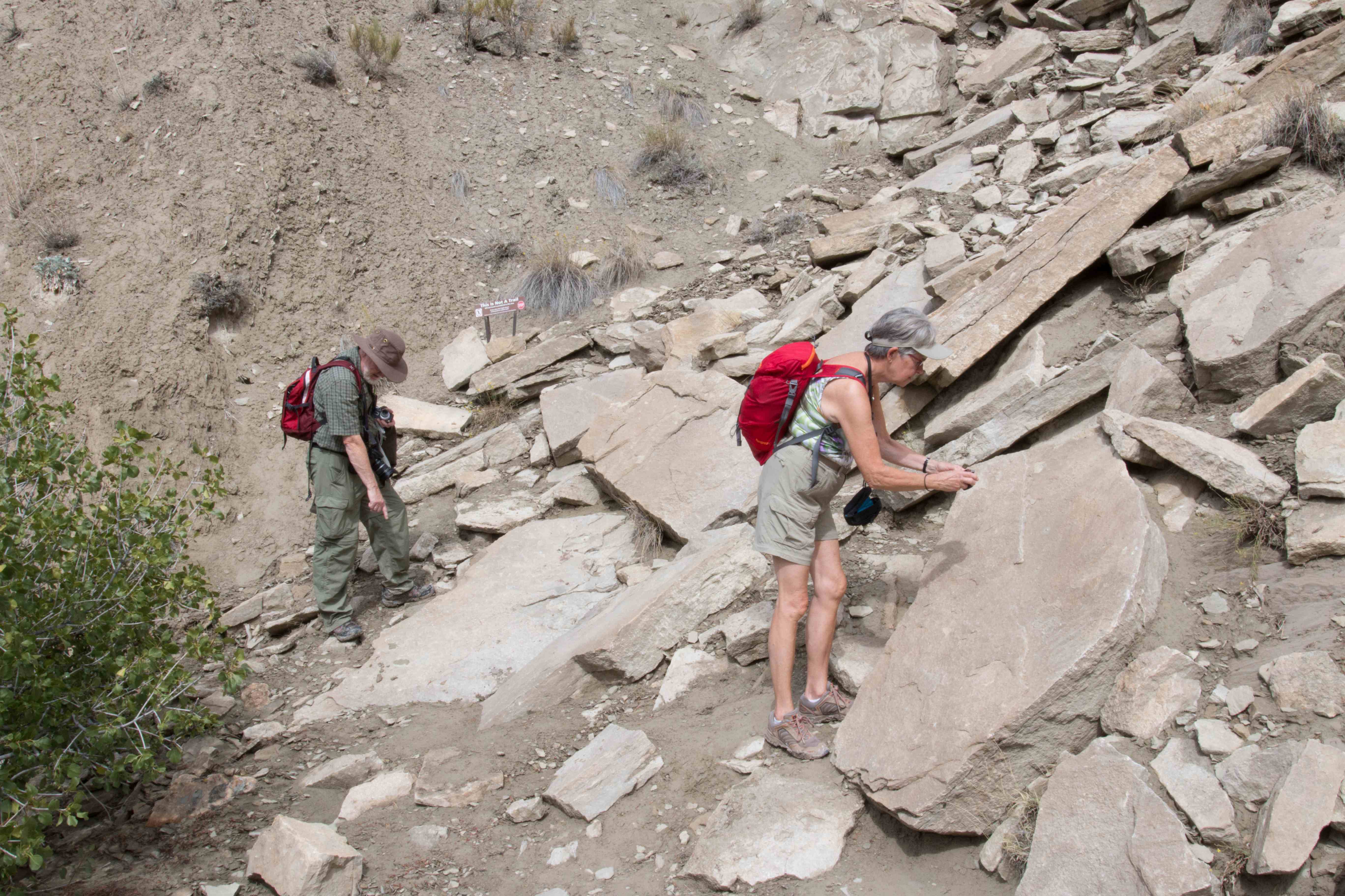
Further down the trail we got to a rock wall where we saw dinosaur bones and lots of sea shells. We knew that was not the major site and even with that knowledge we could hardly stop looking at spines and bones.
by Aase Christensen
.
.
.
.
.
.
.
.
.
.
.The fossils were everywhere:
Let’s just say we were all very excited and Thorkild was super-excited. We continued on the trail and found another place with lots of sea shells.
Sea shells
Trine Christensen
.
.
.
.
Big excitement in particular for the geologists, Aase and Thorkild.
….
.
.
.
.
We finally arrived at the Dinosaur National Monument.
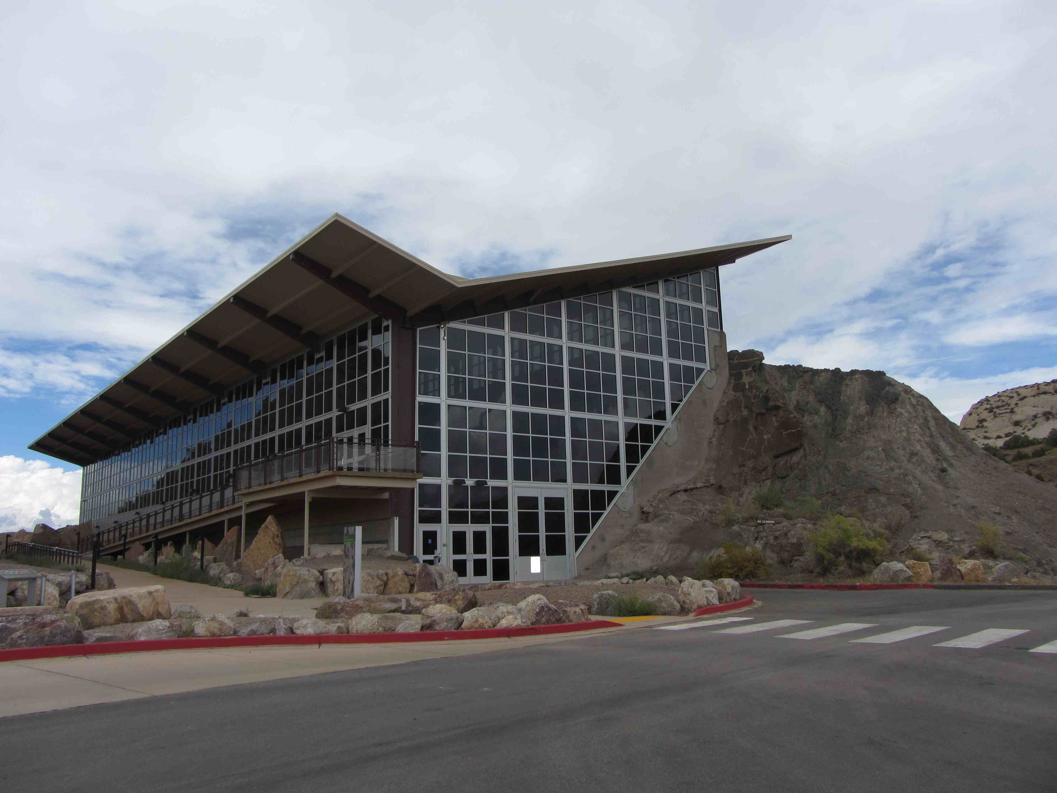
Dinosaur National Monument
by Aase Christensen
Outside the Monument:
(Click on the first image to see the gallery below, press Esc when done)


I had expected a few, small bones sticking out from the wall here and there with the museum build on top. The last part was correct but the amount of fossilized dinosaur bones in that wall was beyond belief. Unbelievable.
Instead of hiking back down to the visitor center/parking lot area we took the shuttle bus (train wannabe). Then we drove to another spot in the National Park – the Green River – where we had a quick lunch before we went for a hike. We thought the River Trail would be down by the water but that was not so.
by Trine Christensen
The River Trail was up on the hill side looking down on the river.
Dark clouds approached and after about an hour of hiking, it started drizzling and we turned around. On the way back we stopped at a wall of fossilized sand ripples.
by Trine Christensen
Just before we got back to the car, it started raining hard but only for a few minutes. It cleared up and we took off.
We stopped at a site close by because we thought there was petroglyphs. But we had not read the information sheet (because we didn’t get/take one) and we only saw red rocks.
.
.
by Trine Christensen
Not that they were not pretty but it was not petroglyphs.
.
.
.
.
.
.
.
.
.
.
.
(Click on the first image to see the gallery below, press Esc when done)


We got back in the car and continued some miles down the road and then we saw petroglyphs!
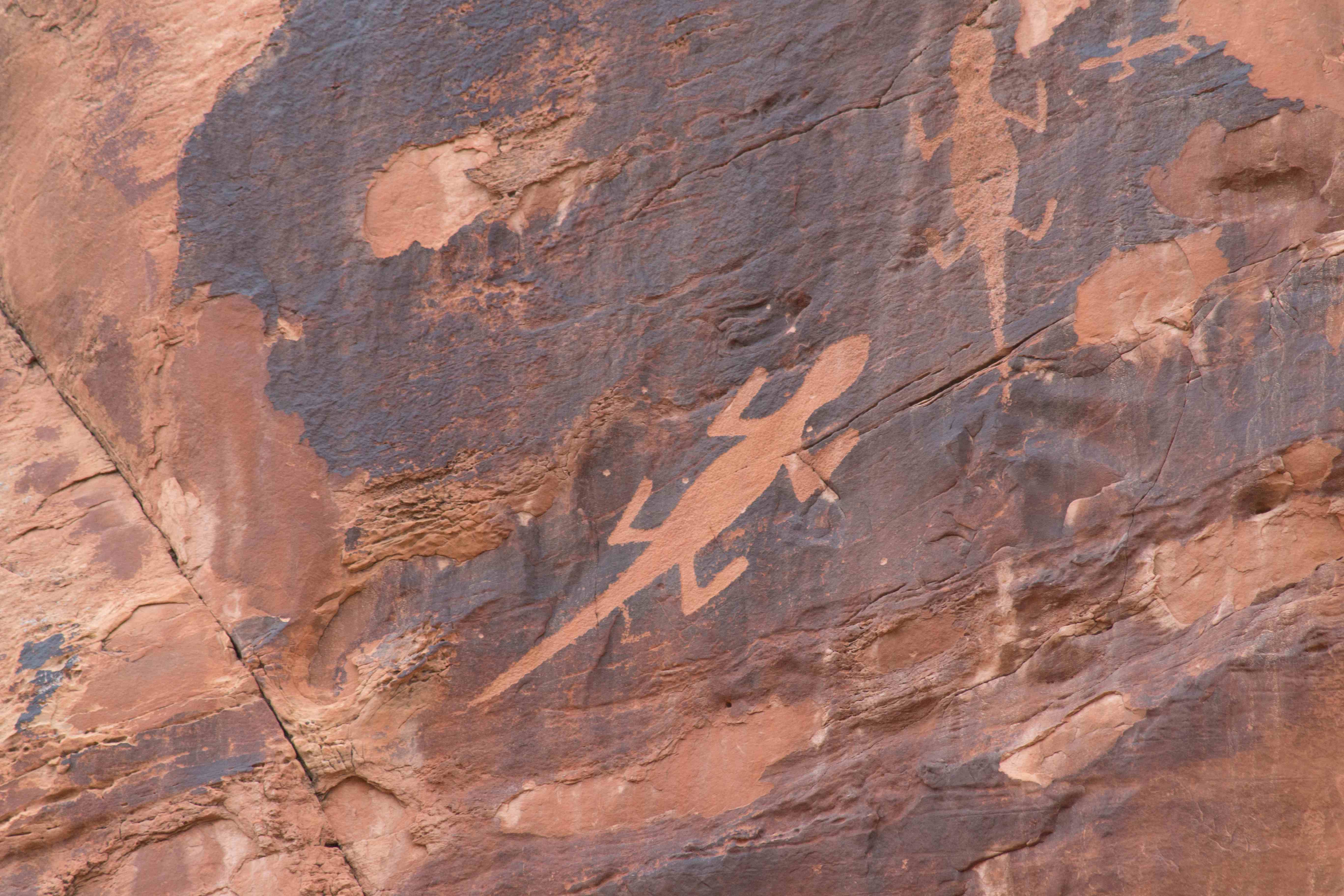
by Trine Christensen
The only time during our Utah visit we saw lizards carved in stone.
We met a couple from California, he stood on the edge of a cliff to get the ideal shot the petroglyphs – in the picture it does not look nearly as scary as it was! Indeed the view was fantastic.
(Click on the first image to see the gallery below, press Esc when done)


The couple from California told us that we missed one place with petroglyphs close to the visitor center. Obviously, we had to check it out and on the way out of the park, we found it.
(Click on the first image to see the gallery below, press Esc when done)


Then we headed back to Vernal. Just before Jensen, Philip spotted a hawk. We got out of the car. The hawk was sitting on a telephone pole just above the car, and then he/she took off and landed on another telephone pole close by next to another hawk! Cool stuff.
(Click on the first image to see the gallery below, press Esc when done)


Back in Vernal, it was getting late. Fortunately we were living in downtown and our initial plan was to walk to a Chinese restaurant. It was nowhere to be found so we had to come up with plan B right there and we went to a Sushi/Asian restaurant instead. Food was pretty good and they had a few bottled local beers so we were fine.
Wednesday came to an end.
Good night!!
Thursday September 12
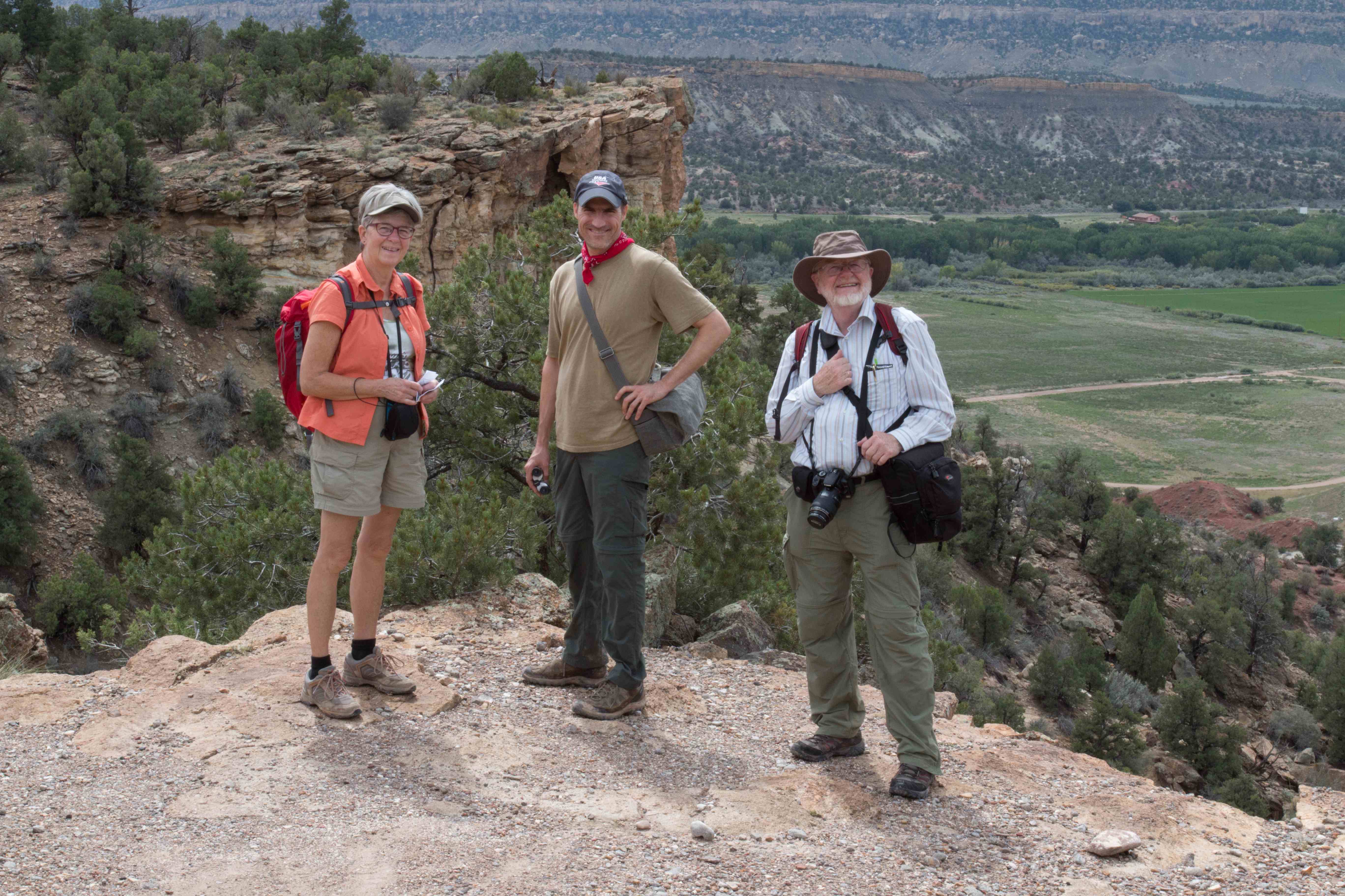
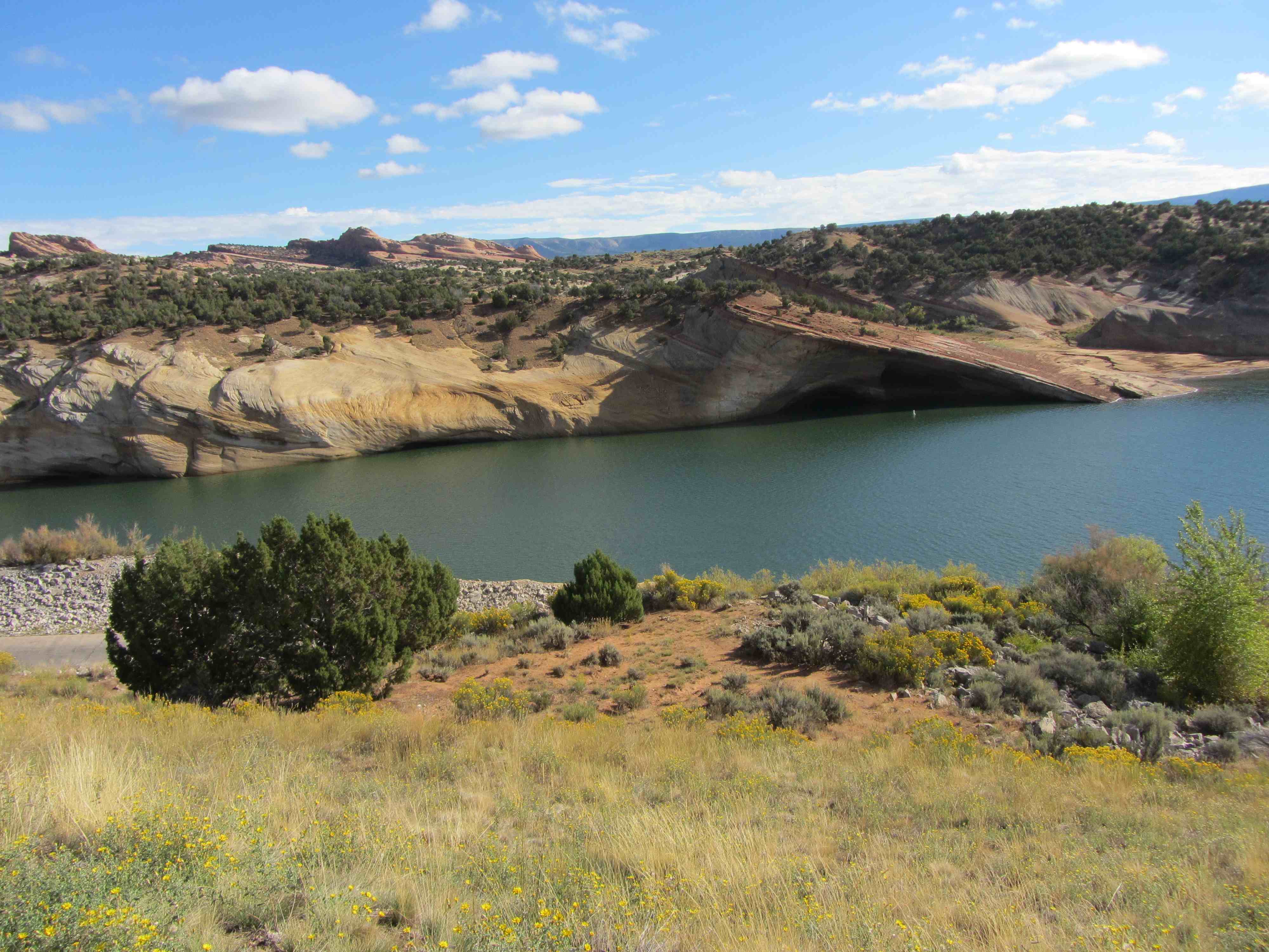
The visit to the Dinosaur National Monument and Park was fantastic and it would be hard to beat. We didn’t have a set in stone plan for Thursday but after talking back and forth we drove some 10 miles north of Vernal to Red Fleet State Park to look at fossilized dinosaur tracks.
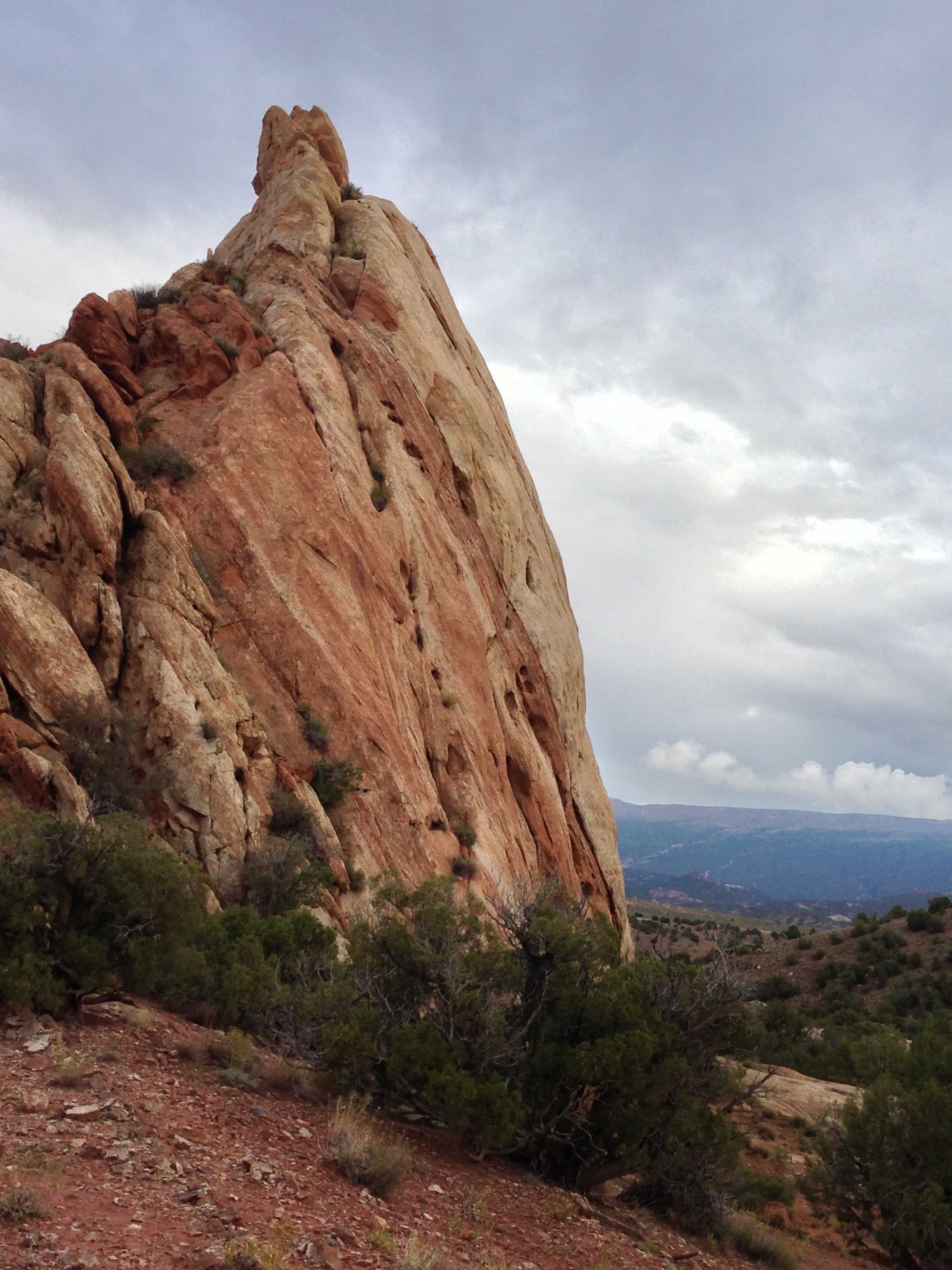
The state park got its name from three Navajo Sandstone mountain tops that looked like a fleet of ships. http://stateparks.utah.gov/park/red-fleet-state-park
by Aase Christensen
.
.
.
.
The red fleet is in the back ground in the picture. Also the flat sloping hill was the destination where the dinosaur tracks were.
.
..
.
It was a 2-3 miles hike to the dinosaur tracks. We found the trail head at the second try. The trail was uphill and downhill, on rocks and in sand.
A very rocky trail
Fortunately the was well marked. We met a few other people and we chatted with a British couple for a little while and the same Danish couple that we also met in Bryce Canyon. The Danish couple told us about a place in Vernal where they sold legal fossils. Good to know.
Another spectacular landscape, check out the lines of the rock formation in some of the pictures.
Again, it was not a very long hike but we were walking slowly and taking lots of pictures in addition to looking at myriads of fossils scattered around.
(Click on the first image to see the gallery below, press Esc when done)


Note the Swiss Army Knife in the picture above. There is a story about that knife! If you can’t wait, scroll down to Saturday.
Finally, we got to the dino tracks. It was on a rocky slope just next to the lake.
Fortunately they had mapped where to find the tracks.
(Click on the first image to see the gallery below, press Esc when done)


Most of them were not that obvious and we could maybe see them. Others were more outstanding.
Taking a break on the way back.
Very few plants were growing there but Mormon Tea was a very common plant in that area. Mormon tea contains Ephedra and was used by the Native Americans to treat asthma, hay fever, and common cold.
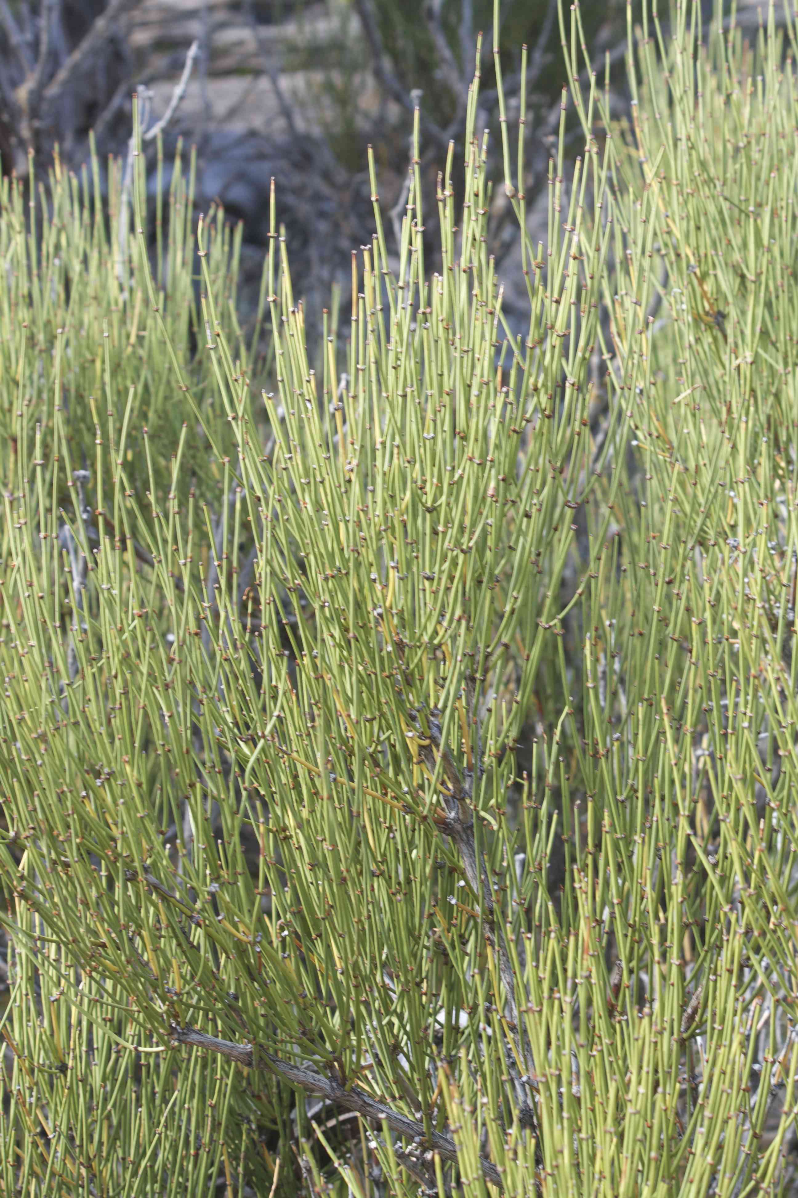
Mormon Tea
by Thorkild Christensen
.
A few more plants were hanging on
After the hike we drove to Vernal for lunch.
Here are a few more pictures from Red Fleet State Park https://thebikecafe.org/travel-2013/utah/red-fleet-state-park/
(Click on the first image to see the gallery below, press Esc when done)


We ate at the local book store – Bitter Creek Books – that had a cafe in the back. Philip had read a review online saying that the food was good but service was not so good. It was almost funny, what that reviewer wrote also happened to us: We were completely ignored for about 5 min even though nobody was in line in front of us and 2-3 people were working there. We finally placed our order and when we got the food, we realized that they forgot to add some of the items we asked and paid for. Oh well, it tasted good and we all got a human Coke.
We walked a little further down Main Street and found the place where they sold fossils but they were closed. Then we had coffee (yep big surprise) at a small coffee shop. While drinking coffee, we talked about where to spend the rest of the afternoon.
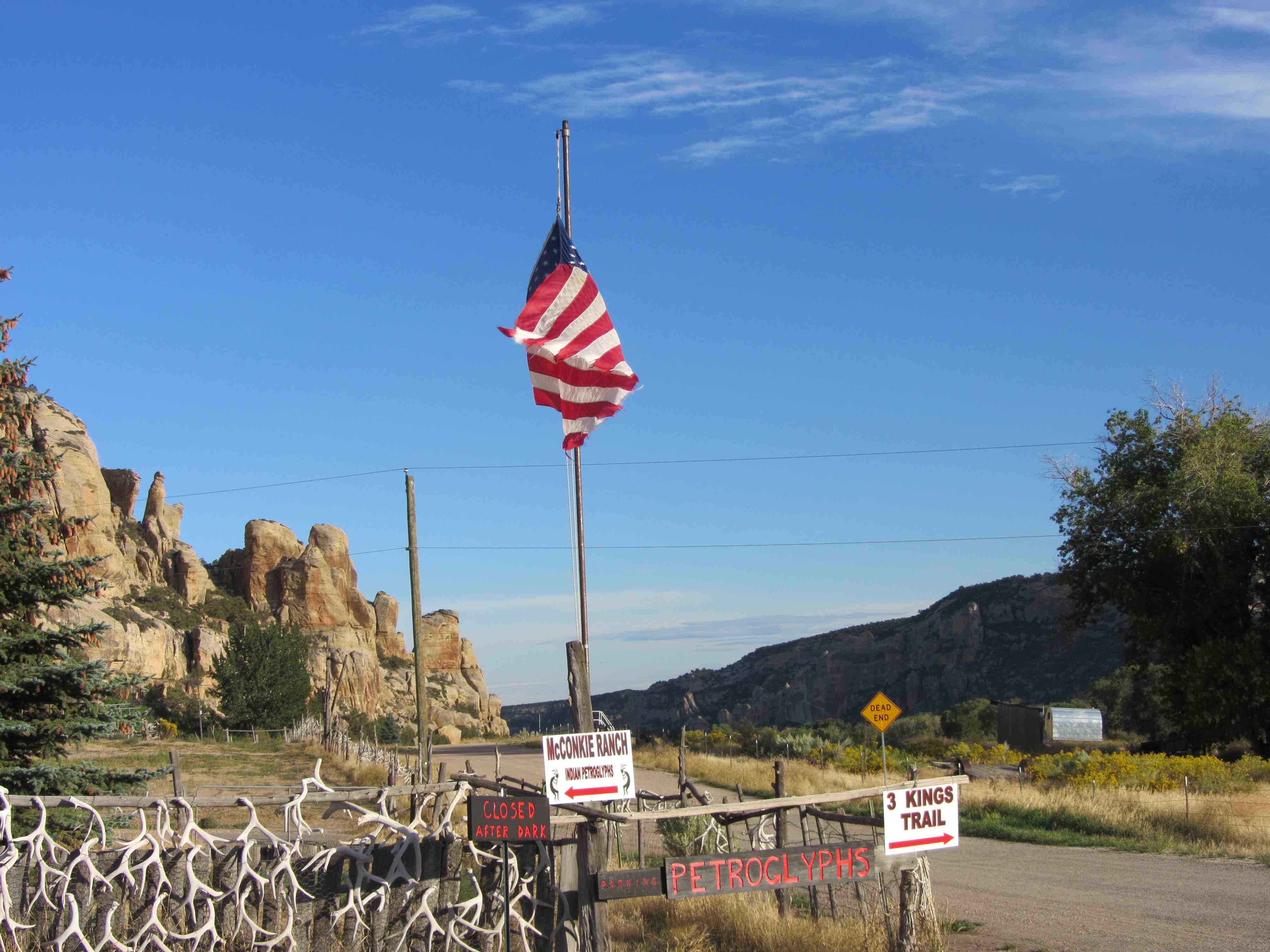
I was pushing a little to go to McConkie’s ranch where – according to the internet which is always true – some of the most spectacular petroglyphs are located. It is private land but the owner had opened up the site to visitors.
by Philip Semanchuk
http://www.frankstehno.com/sagemesa/destinations/utah/mcconkieranch/mrdfcasintro.htm
(Click on the first image to see the gallery below, press Esc when done)


The ranch itself was unique. The little visitor’s shed had hundreds of post-it notes with comments about the place.
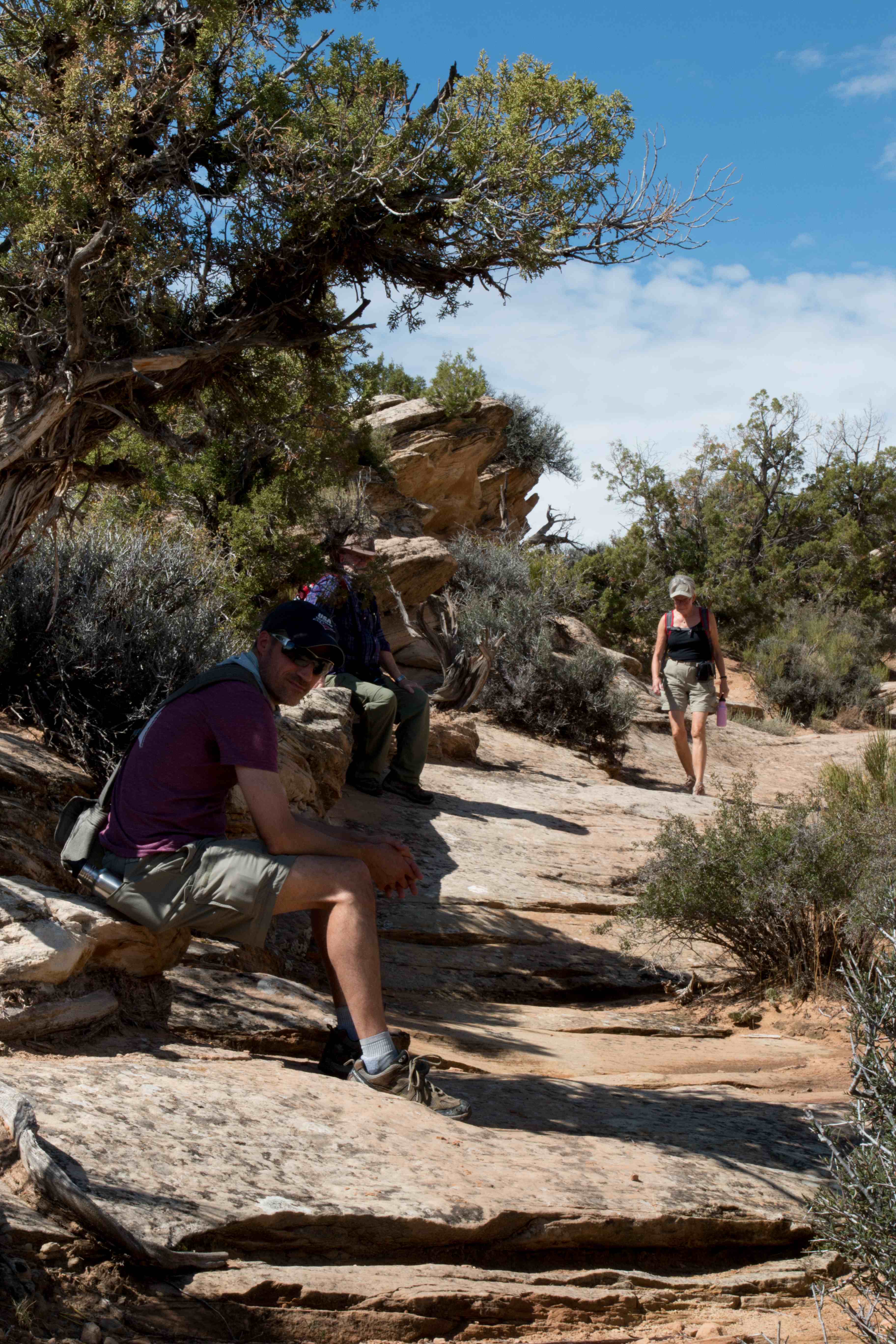
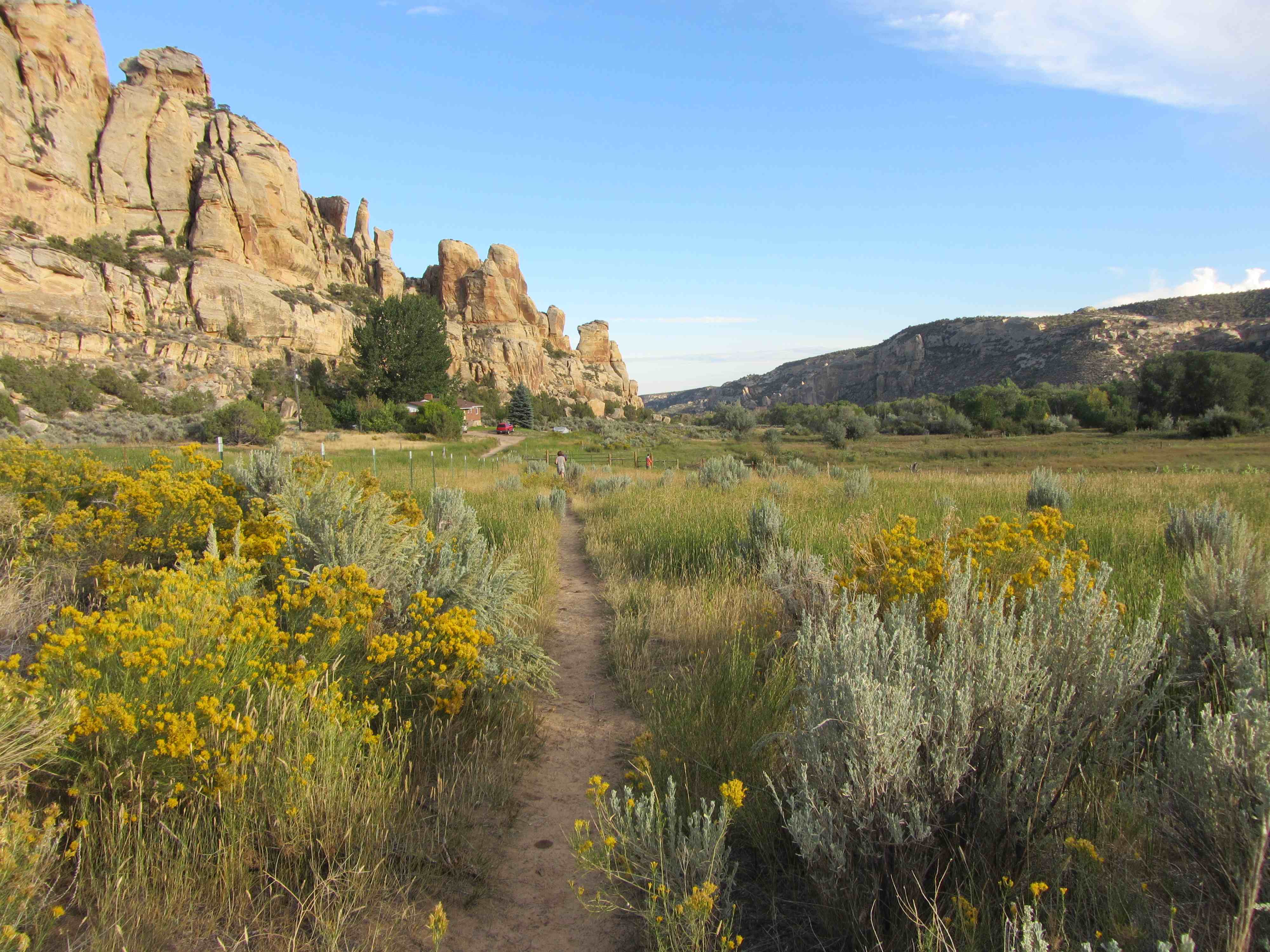
Oh were we glad we went? Yes. First we hiked up a steep and rocky hill. We saw many lizards (not carved in stone but actual live animals) and one of them was posing for us.
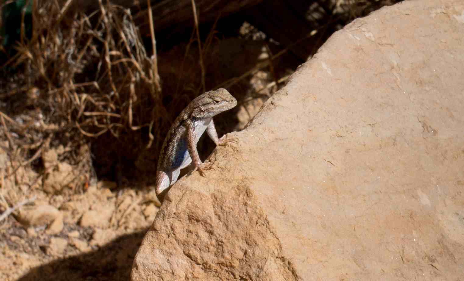
by Trine Christensen
They had wisely arranged the loop so the best petroglyphs were at the end.
The petroglyph below is called The Twins was one of the last ones we saw on the first loop we did.
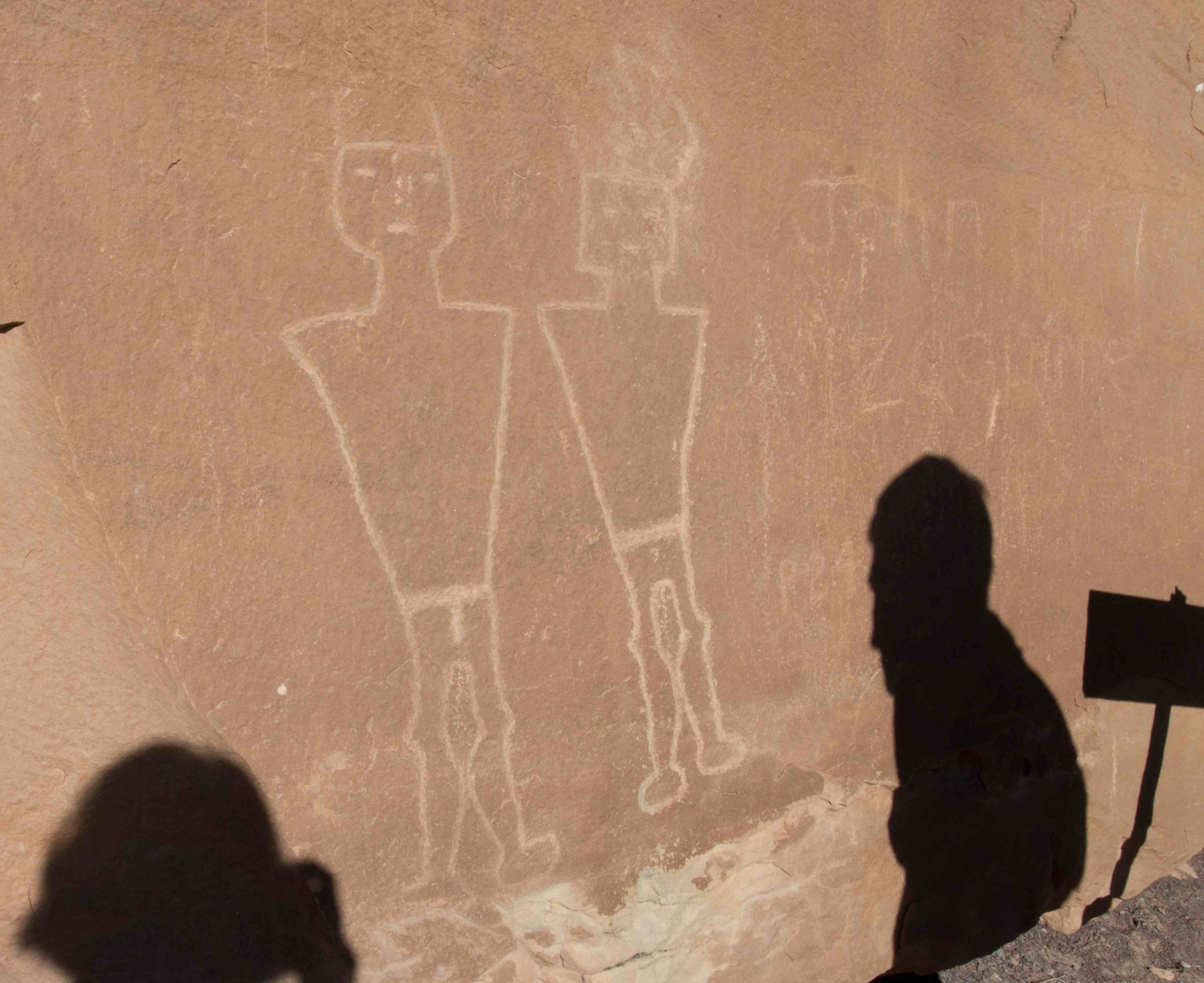
by Trine Christensen
We spent a lot of time up there. And the weather was beautiful!
After that loop, we saw a sign to the Three Kings in the parking lot. We saw some pictures in the little visitor’s shed and realized, that we still had good stuff ahead of us. Another picture from the parking lot area of McConkie’s ranch:
by Trine Christensen
So we started on the trail pointing towards the Three Kings.
by Aase Christensen
.
.
.
.
.
.
.
.
.
.
.
.
.
.
.
First we walked in a cow pasture. The yellow plant is Sagebrush, another plant we often saw. Sagebrush is an aromatic scrub which provides habitat for a variety of species, e.g. sage grouse, antelope, and mule deer. The Native Americans used the plant for preventing infection in wounds, stopping internal bleeding, and treating headaches and colds.
.
Then we got to the petroglyphs: Very nice ones along that trail too.
(Click on the first image to see the gallery below, press Esc when done)


After hiking for a while, we were not sure if we had seen it all but Philip wanted to continue. It was close to sunset but we decided to go a little further.
We got to the end of the trail but we could not find those kings. After a little search, we realized that we had to look up and there they were. Amazing. How did the Native Americans get up there to make them??
(Click on the first image to see the gallery below, press Esc when done)


On the way back, we met the owner of the land and he said that to get up where the carvings were, the Native Americans had to build various scaffolds to climb up on.
by Aase Christensen
.
Lens swap on the trail
.
.
.
.
A few more pics from the hike to the Three Kings https://thebikecafe.org/travel-2013/utah/more-mcconkies-ranch/
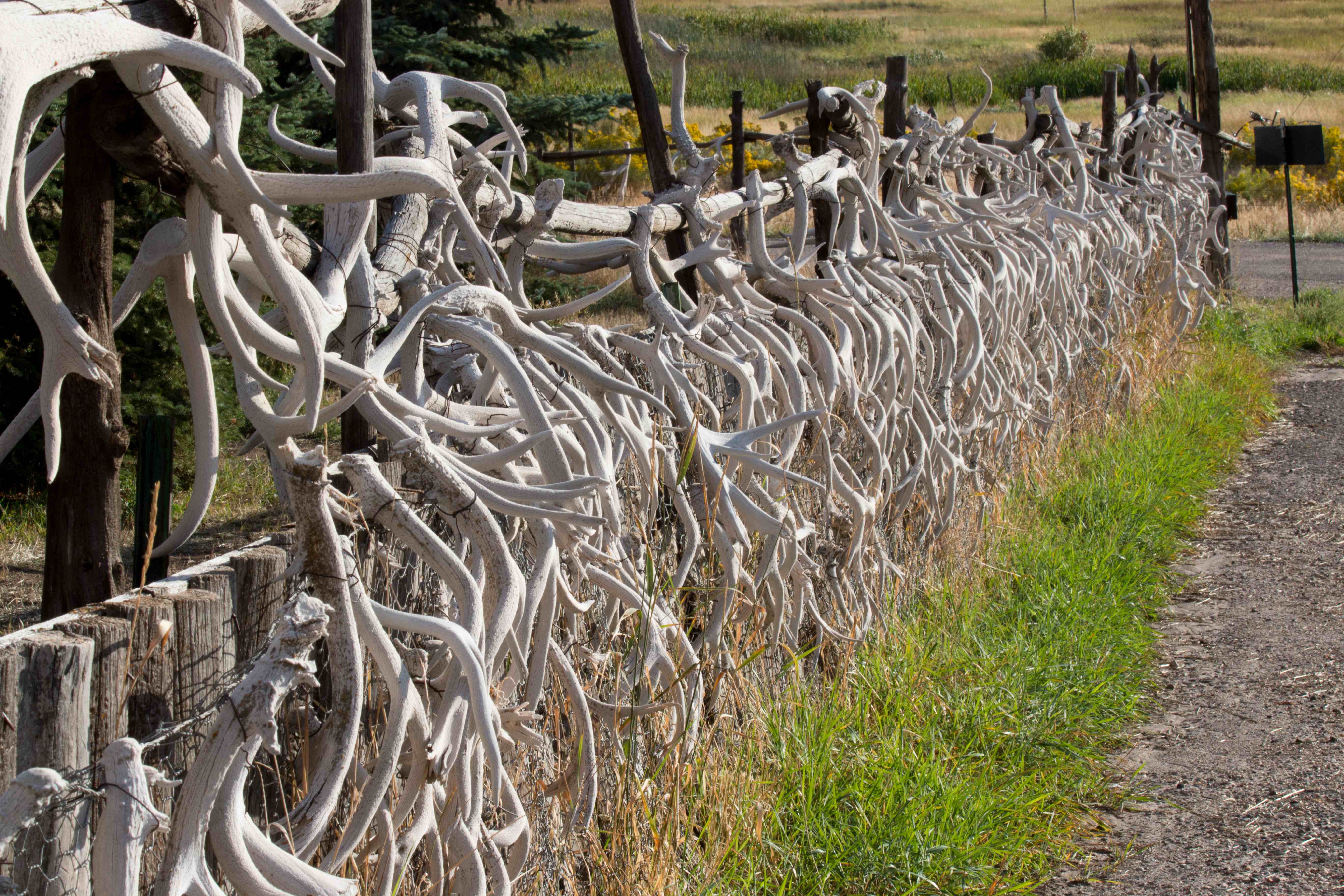
It was almost dark when we finished our visit at McConkie Ranch. On the way back we stopped at “Remember the Maine” – a place to honor the servicemen of the Maine.
(Click on the first image to see the gallery below, press Esc when done)


Back in Vernal, Philip had found yet another brew pub – Dinosaur Brew Pub – so we walked down there. It was a little further than we had anticipate however the food was very good (very, very nice veggie burgers) and again local beer = worth the walk after a long day of walking.
Another very interesting day.
Good night.
Friday September 13
Friday – it was time to leave Vernal and drive back to Salt Lake City. The direct route was 2 hours and 56 min. This time we took the direct route.
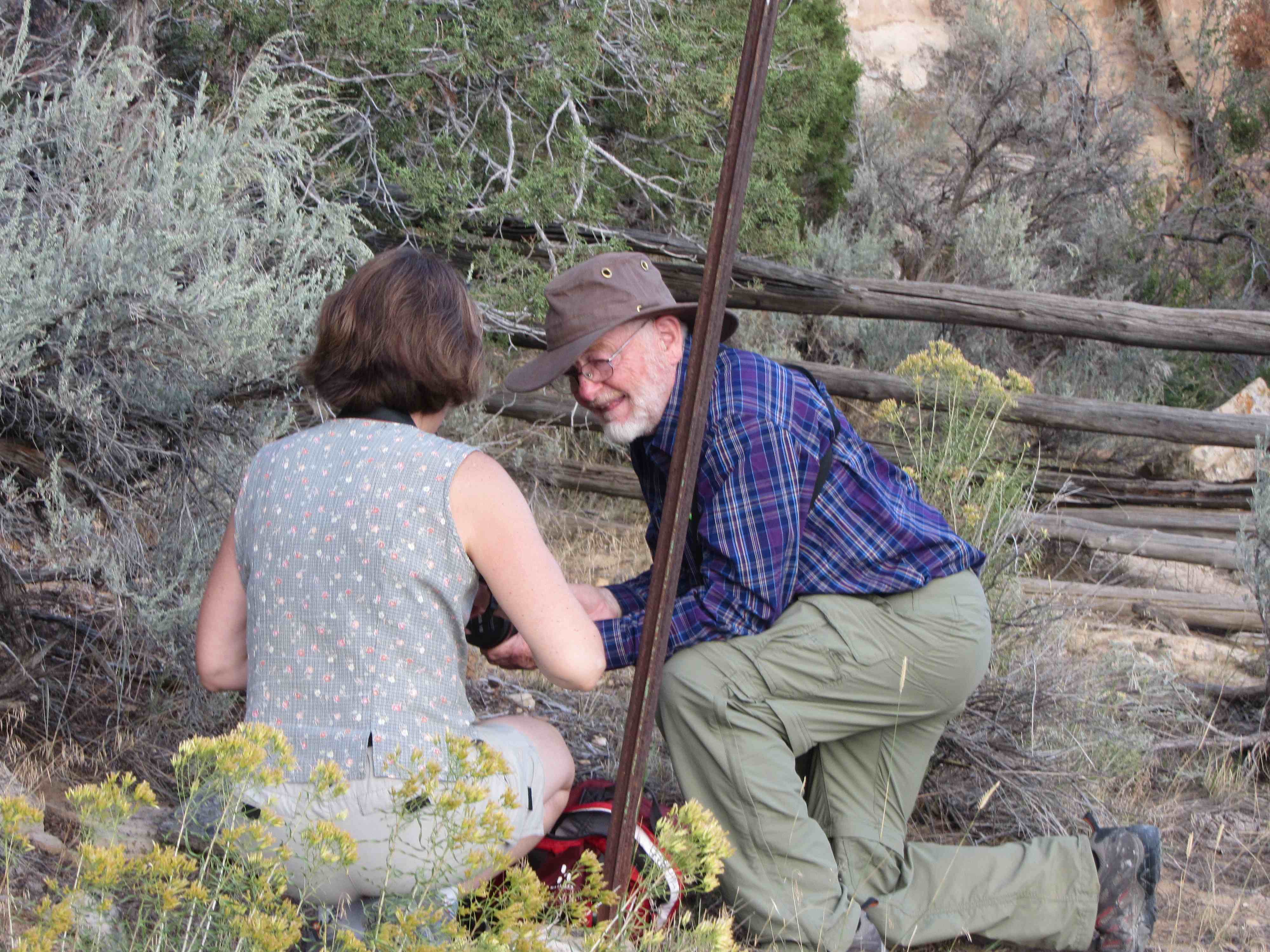
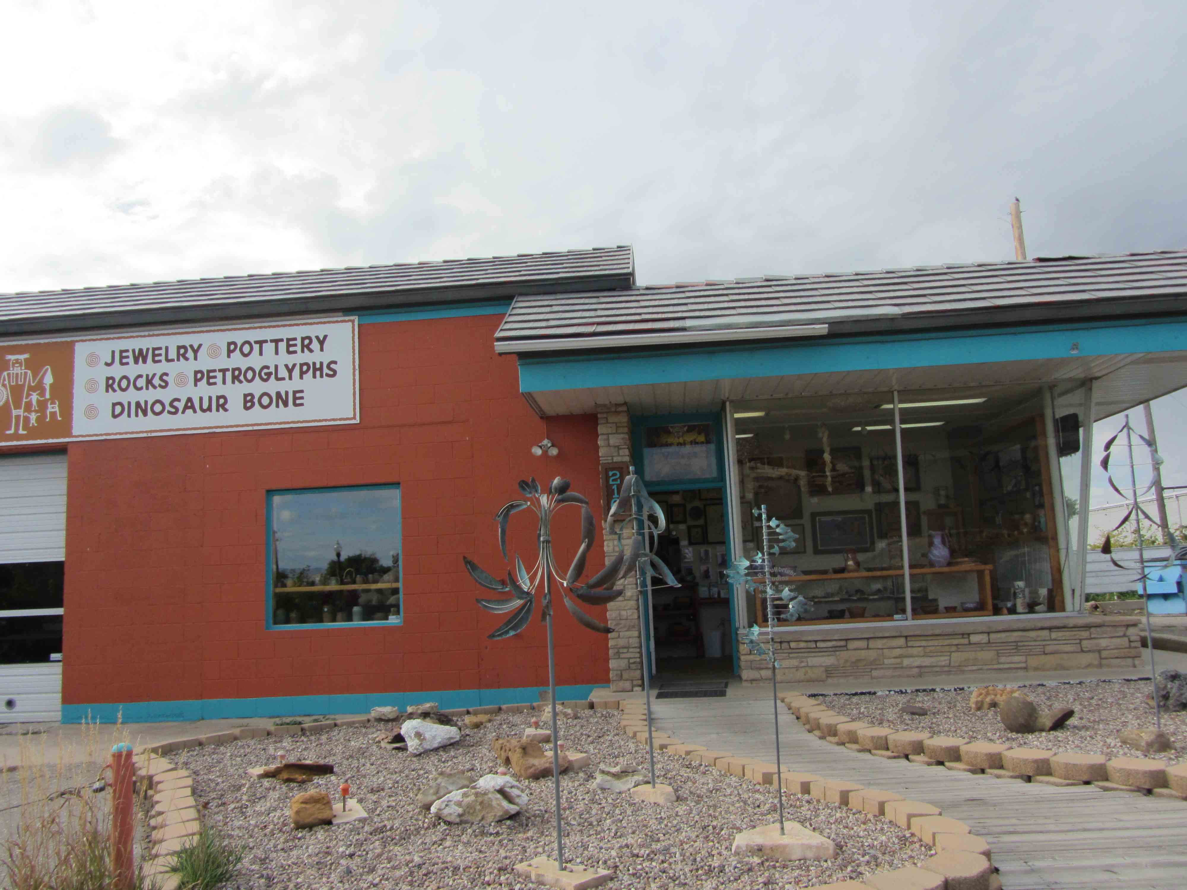
On the way out of Vernal, Philip called the store that sold fossils and they were open! So we stopped at Randy Fullbright’s studio http://www.fullbrightstudio.com/-/fullbrightstudio/. A great place.
by Aase Christensen
Randy knows a lot about the geology of Utah and neighboring States. He had a lot of fossils that he collected from private land and sold in his gallery. Aase and Thorkild bought several fossils and I got a fossilized fish (see below).
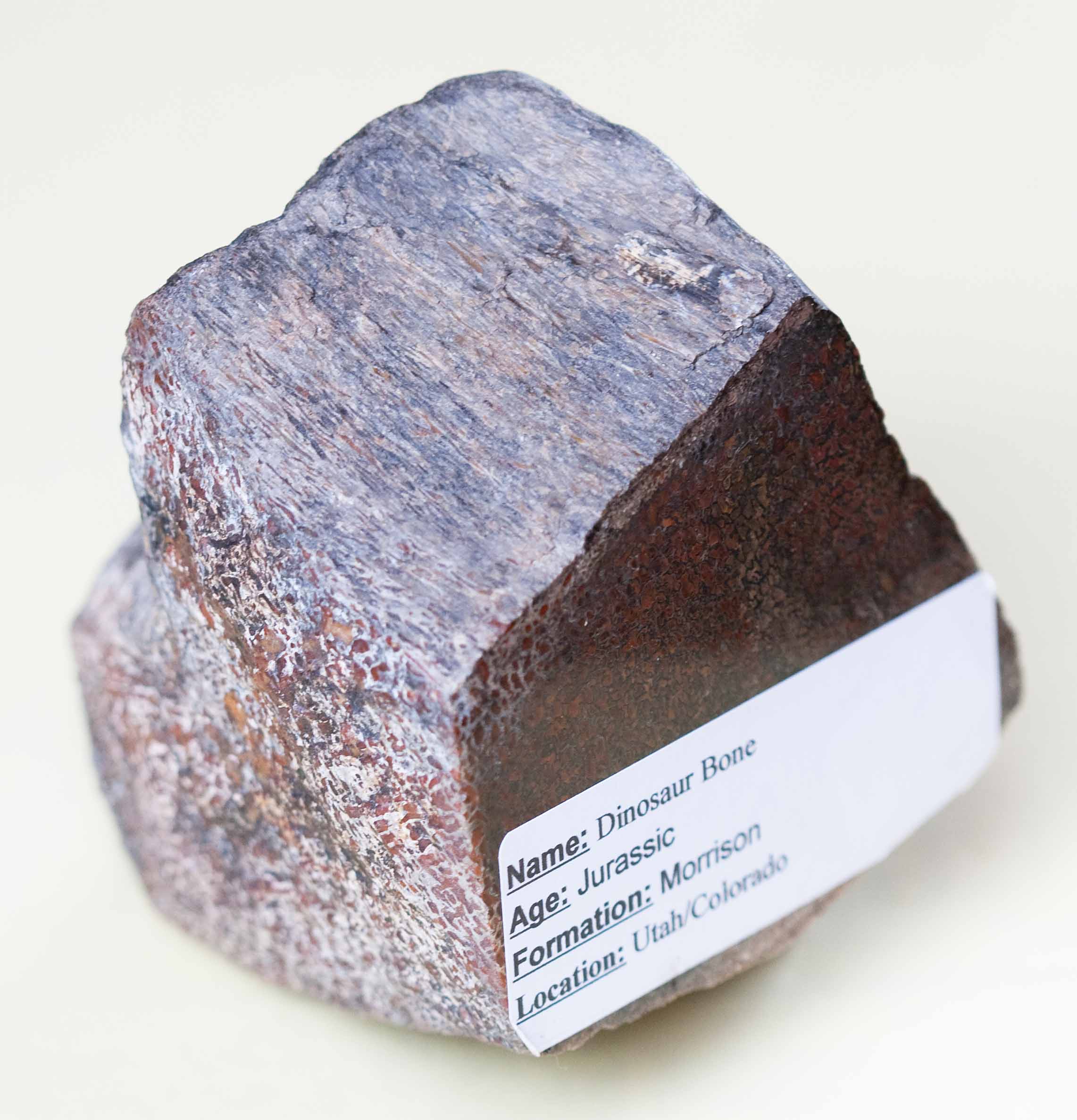
Dinosaur bone, from Jura. Found in the Morrison Formation, Utah/Colorado
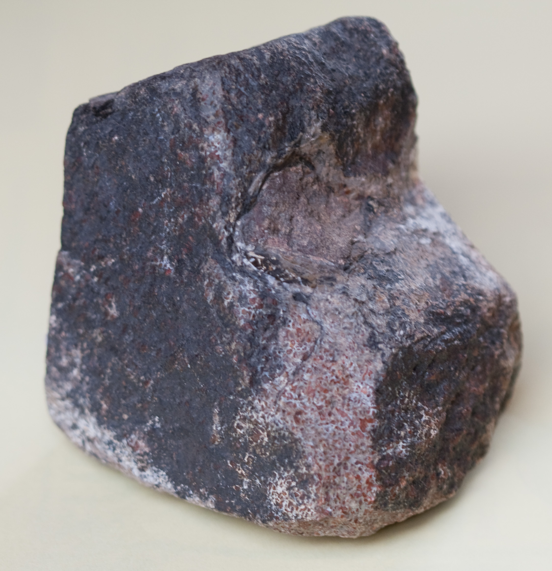
Dinosaur bone, from Jura. Found in the Morrison Formation, Utah/Colorado
.
.
.
.
.
.
.
.
.
.
.
.
.
.
.

Dinosaur Coprolite (Dinosaurlort) From Cretaceous period Found at Cedar Formationen in Montana.

Fossilized palm tree found in Louisiana from Miocene

Fossilized wood found at the Green River from Eocene
.
.
.
.
.
.
.
.
Finally the fish:
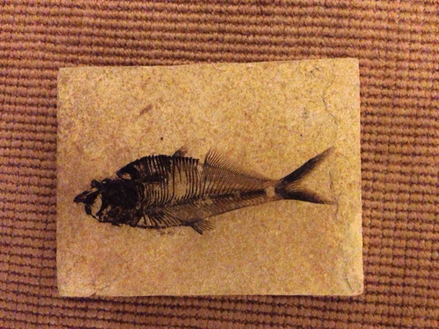
Fossilized FISH
.
.
.
.
.
.
.
.
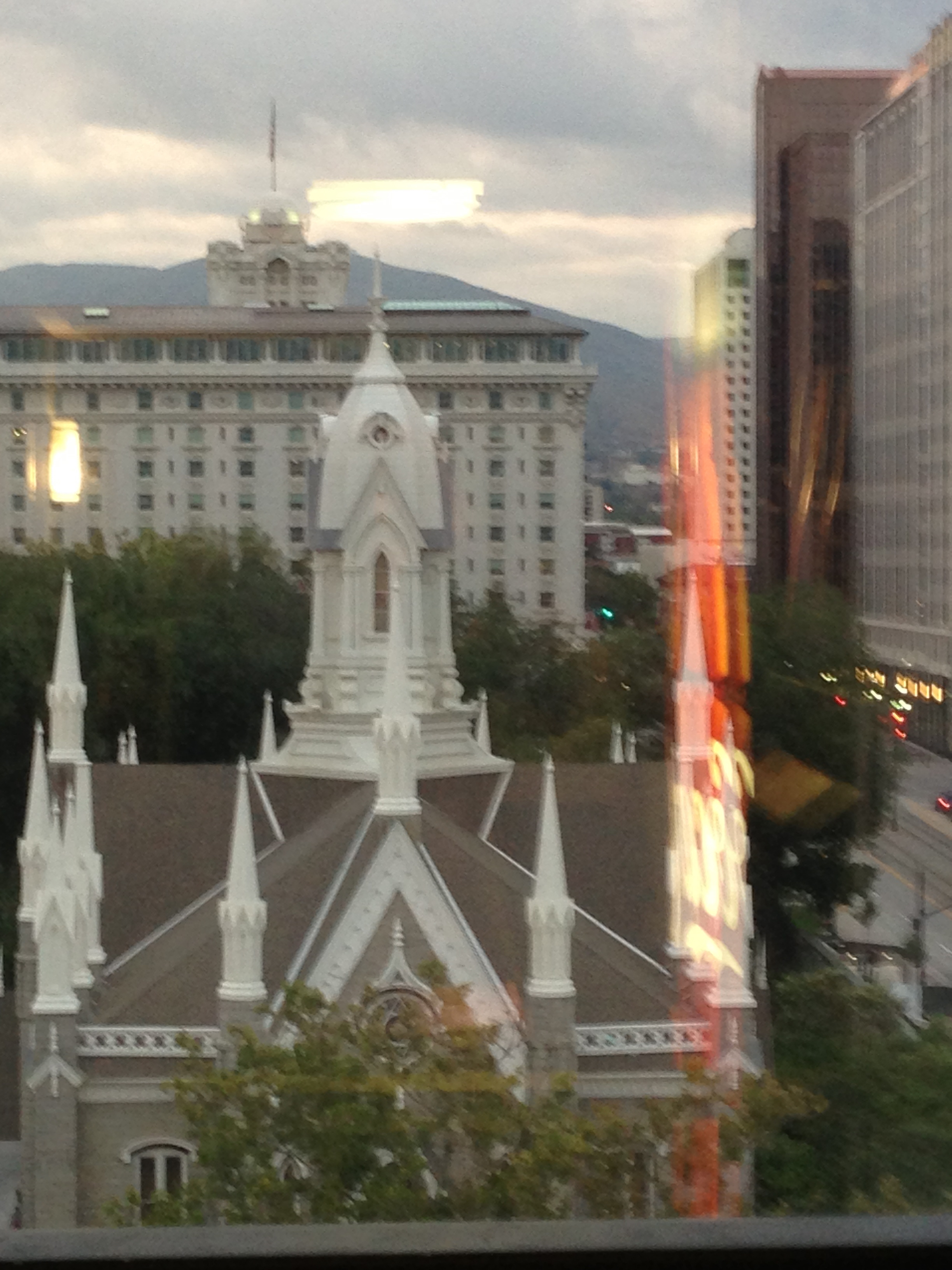
After spending a lot of time at Randy’s studio, the last leg of the trip – Vernal to Salt Lake City – was initiated. We arrived just after lunch. Our hotel was next to the Temple.
A nice warning sign at the parking garage:
by Thorkild Christensen
Pictures at and around the Temple:
We all went over to the Temple to look around as good tourists should do. Philip took off on his own shortly thereafter to find park to see some special birds. He lost his way a little and walked through a rougher part of town but found the park at the end. I forgot if he saw any birds……
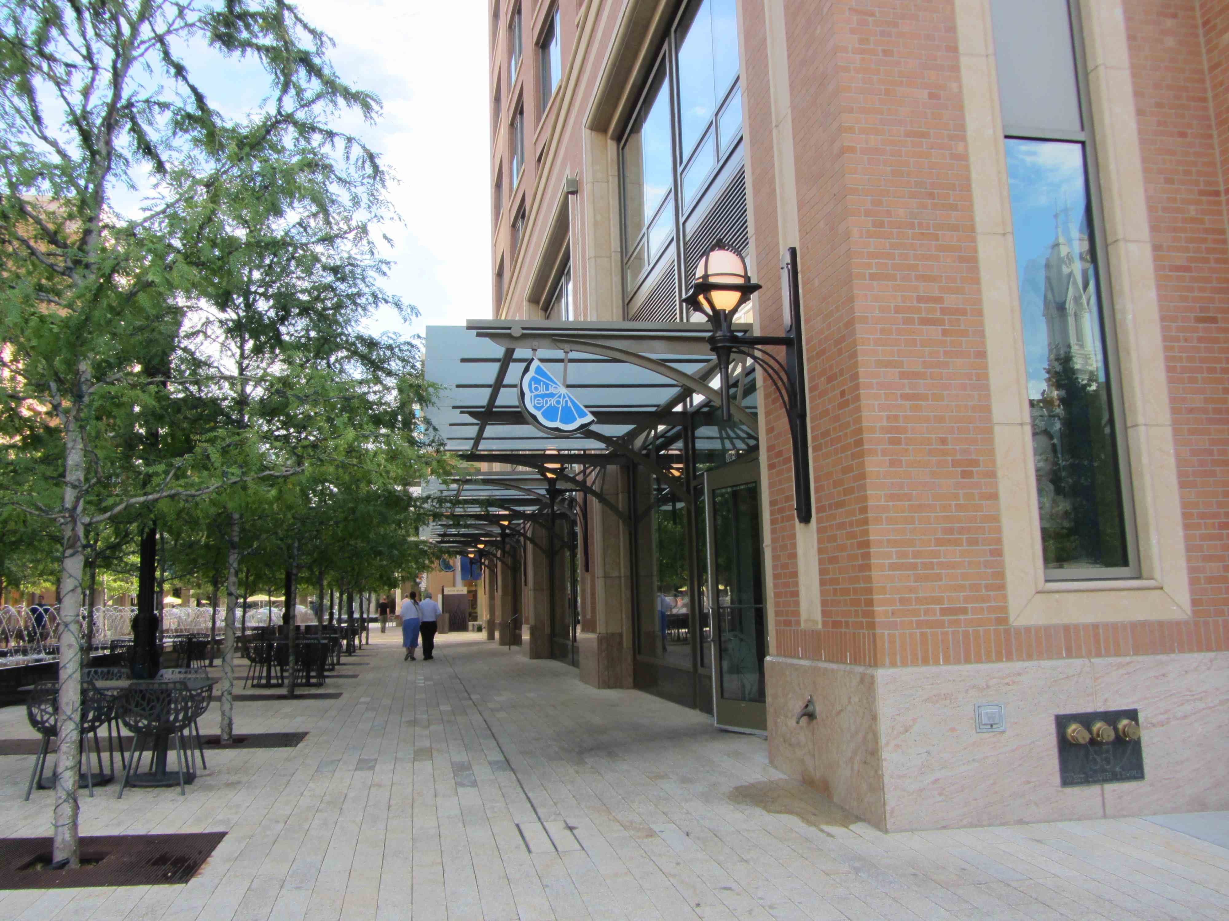
Aase, Thorkild, and I went to meet our relatives at the Blue Lemon Cafe.
by Aase Christensen
We are related 7 generations back. Their great-great-times-many-parents immigrated to American many years ago and came to Utah. It was so much fun meeting them.
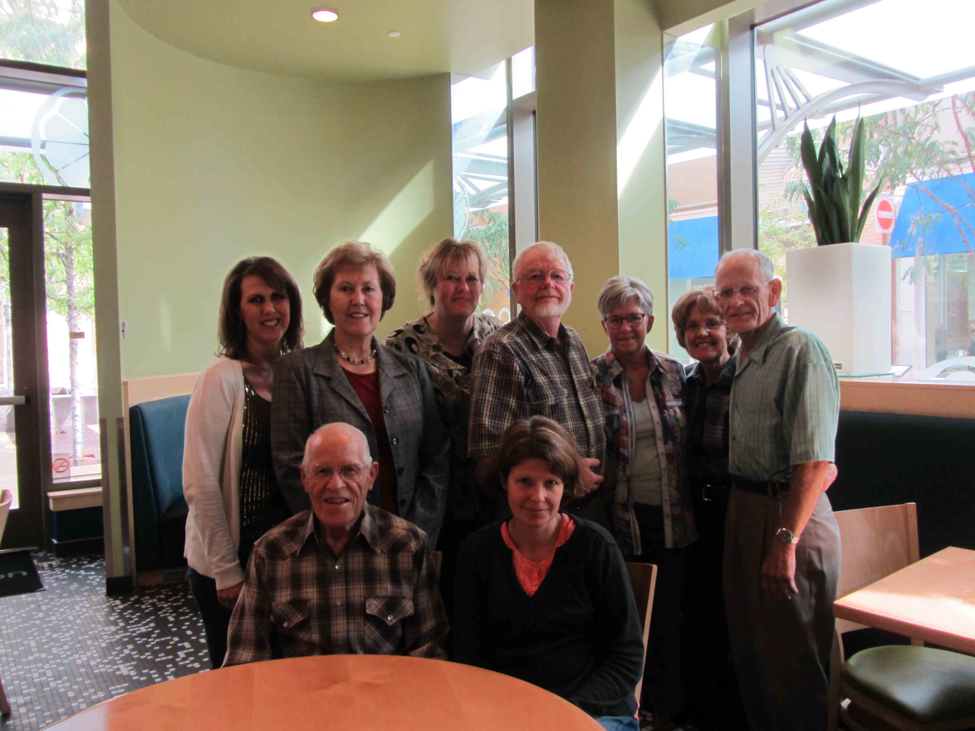
Noreen Kinsman Miller, Ada Lora Kinsman, Ruth Ann Kinsman Milner, Thorkild Christensen, Aase Christensen, Sandra Anderson, Oren Anderson, Ernel L. Anderson, Trine Christensen
.
.
.
.
.
.
.
.
.
(Click on the first image to see the gallery below, press Esc when done)


After visiting with the relatives, we met up with Philip at the hotel. The view from the hotel:
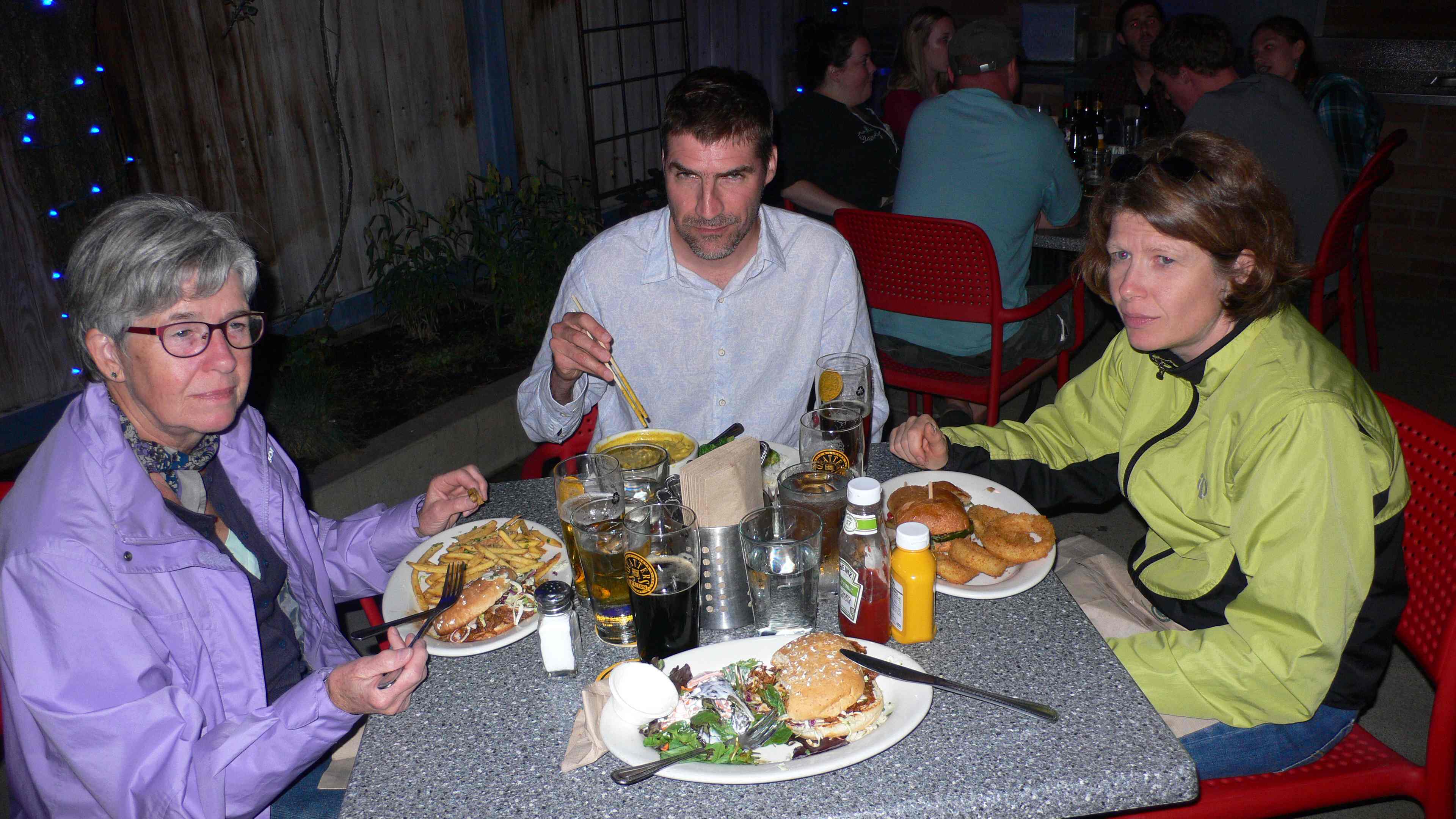
We walked a couple of miles through Salt Lake City to a brew pub – Salt Lake Brewing Co – where we had dinner. It was a lovely evening, warm with a setting sun.
It was Friday evening and many people were out.
(Click on the first image to see the gallery below, press Esc when done)


But we got seated after about 30 min and had a nice, last evening dinner.
by Thorkild Christensen
After we got back to the hotel we had a great view over the city. Here is one weird pic:
by Trine Christensen
Off to bed, had to get up early the day after..
God nat!
Saturday September 14
Got up veeeery early to go to the airport. Brought the car back and checked our bags. As we were waiting in line for the security check Thorkild realized that he still had his Swiss Army Knife in his pocket. Oh NO. The Swiss Army Knife has been with Thorkild for many, many years, however it disappears and reappears frequently. To our big surprise, the TSA person said that they would send it to North Carolina if Thorkild paid the cost. Philip went to buy an envelope and stamps at a kiosk. About 5 days after we got back from Utah, the knife arrived.
Reflecting: Utah is just amazing, we did not want to leave but we had to. So much to see so much to do. We will be back at some point. Maybe mountain biking in Moab?
After an uneventful trip, we landed in Raleigh/Durham airport without delays and we made it to Durham and Carrboro in time for late dinner.
Thats it folks.
